

Celia & Blas Possible Weather Impacts

Image: James Grenz
Alerts (as of 1:00 a.m.)
There are no weather alerts posted at this time.
**Click directly on the images below to make them larger. Charts include: Big Island high/low forecasted temperatures, projected winds, chance of cloud cover, projected localized weather conditions, vog/SO2 forecast and expected wave heights.**
Looking Ahead
Light to moderate trade winds are forecast for the next few days. Passing low clouds and showers carried by the winds will affect mainly windward and mauka areas. Moisture from the remnants of former Hurricane Blas may bring an increase in showers Thursday night and Friday. It’s still too soon to know what, if any, effects Hurricane Celia could have on our island weather. We will continue to track the system. For now, if we see any effects to our weather, the timing is for early next week.
Today
Partly to mostly cloudy skies with scattered showers for windward spots. Northeast winds expected up to 15 mph. Areas of haze are forecast for the Kona side with mostly sunny morning conditions and mostly cloudy afternoon skies and isolated showers. High temperatures from 84° to 89°.
UV index at 12 (“extreme” exposure level)
Tonight
Northeast winds tonight up to 15 mph. Mostly cloudy with scattered windward showers likely tonight. Clearing skies for the leeward side. Low temperatures from 70° to 76°.
Our Big Island Now Weather homepage always includes daily: Sunrise | Sunset | Moonrise | Moonset | Moon Phase | Live Weather Cams | 5-day Forecast | Current Temperature & Conditions
**Click here for your detailed Big Island surf report.**

Image: NOAA

Image: NOAA

Image: NOAA

Image: NOAA
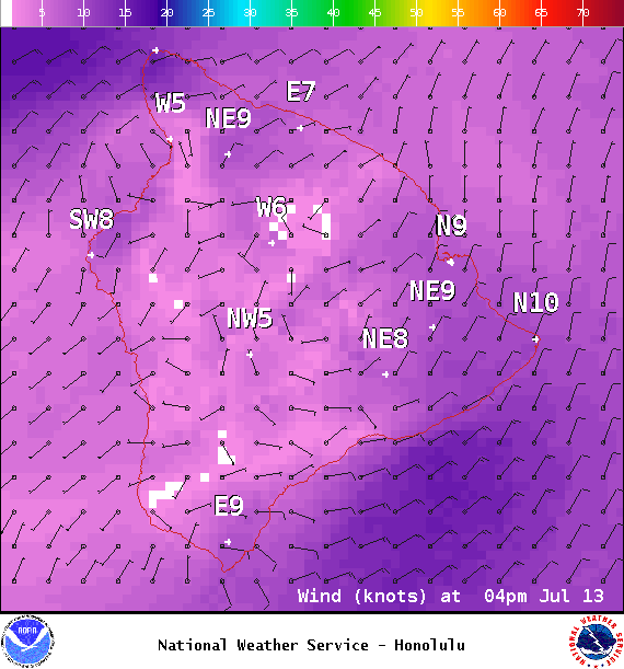
Image: NOAA
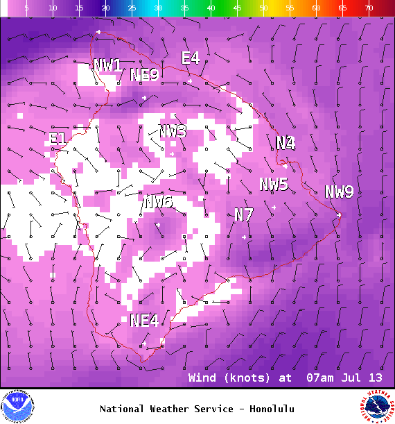
Image: NOAA
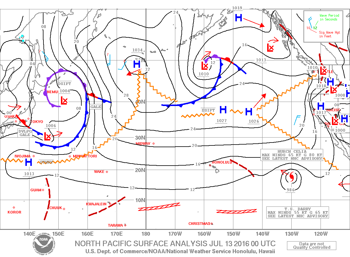
Image: NOAA
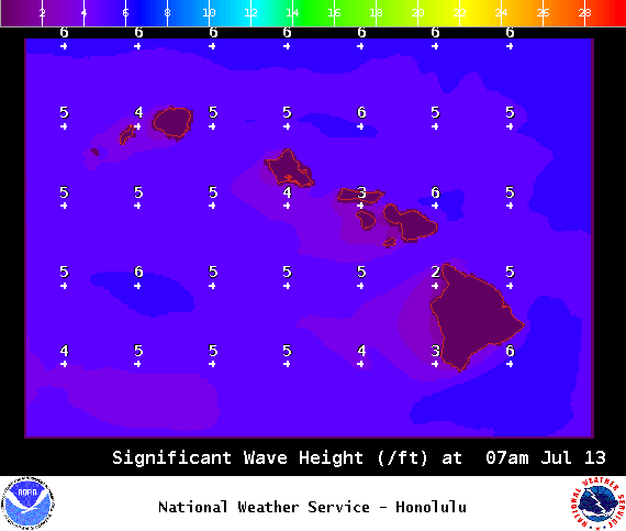
Image: NOAA
Sponsored Content


