

Today’s Holiday Weather Forecast

Image: James Grenz
Alerts (as of 1:00 a.m.)
A High Surf Advisory is posted for east facing showers through 6 a.m. Monday but could be extended if conditions persist.
A Small Craft Advisory is in effect through 6 a.m. Monday for all Big Island coastal waters (except windward waters).
**Click directly on the images below to make them larger. Charts include: Big Island high/low forecasted temperatures, projected winds, chance of cloud cover, projected localized weather conditions, vog/SO2 forecast and expected wave heights.**
Looking Ahead
Fresh to strong trade winds are expected to weaken slightly by Monday. Low clouds and showers will focus over windward and mauka spots through Tuesday, occasionally bringing showers to the leeward sides of the smaller islands. Expect a relatively drier trade wind weather pattern to take over by midweek, with possibly additional moisture moving in with the trades Friday into the weekend.
Today
Partly cloudy skies with scattered windward showers. Breezy conditions with east winds expected from 15 to 20 mph. Areas of haze are forecast for the Kona side with mostly sunny morning conditions and mostly cloudy afternoon skies and scattered showers. High temperatures from 83° to 88°.
UV index at 13 (“extreme” exposure level)
Tonight
East winds tonight from 15 to 20 mph. Mostly cloudy with scattered windward showers tonight. Clearing skies for the leeward side. Low temperatures from 71° to 76°.
Our Big Island Now Weather homepage always includes daily: Sunrise | Sunset | Moonrise | Moonset | Moon Phase | Live Weather Cams | 5-day Forecast | Current Temperature & Conditions
**Click here for your detailed Big Island surf report.**

Image: NOAA /NWS

Image: NOAA /NWS

Image: NOAA /NWS

Image: NOAA /NWS
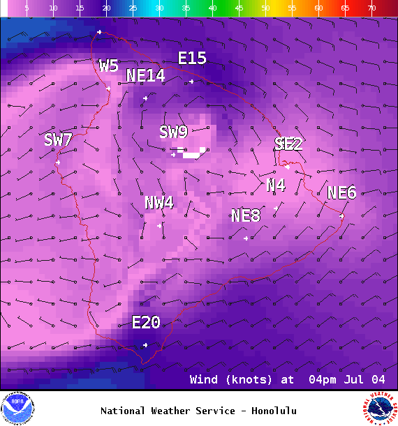
Image: NOAA /NWS
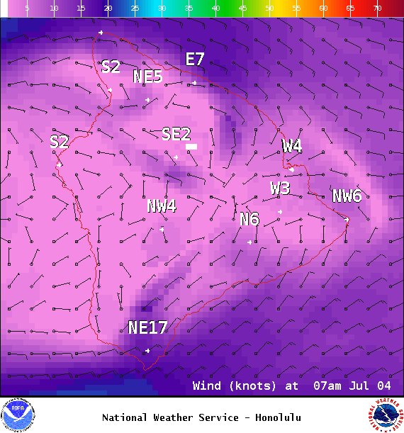
Image: NOAA /NWS
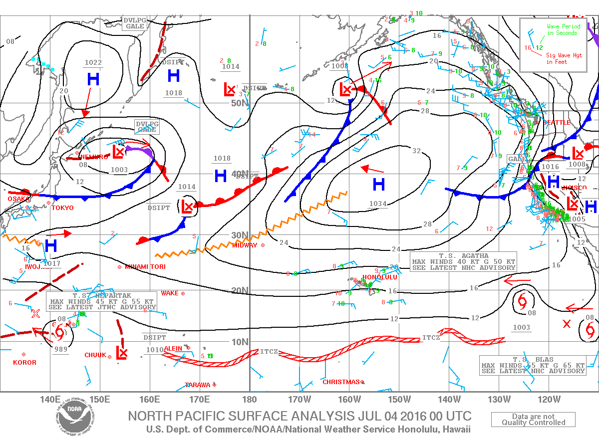
Image: NOAA /NWS
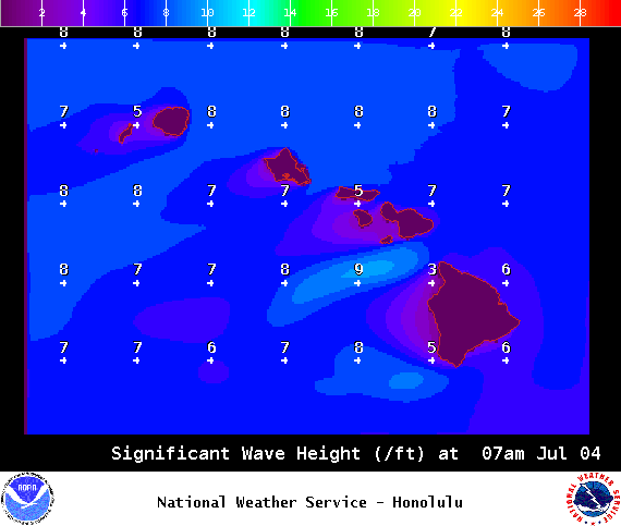
Image: NOAA /NWS
Sponsored Content


