NW Peaks, SSW Swell Expected in a Few Days
Alerts (as of 1:00 a.m.)
There are no weather alerts posted at this time.
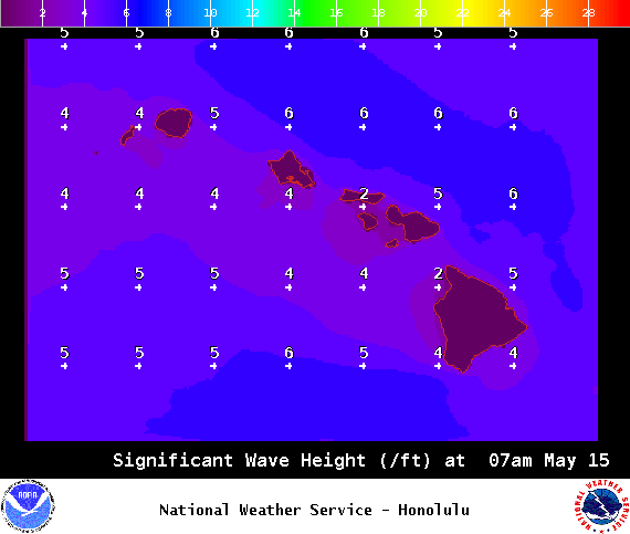
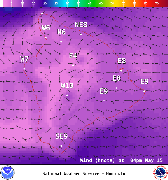
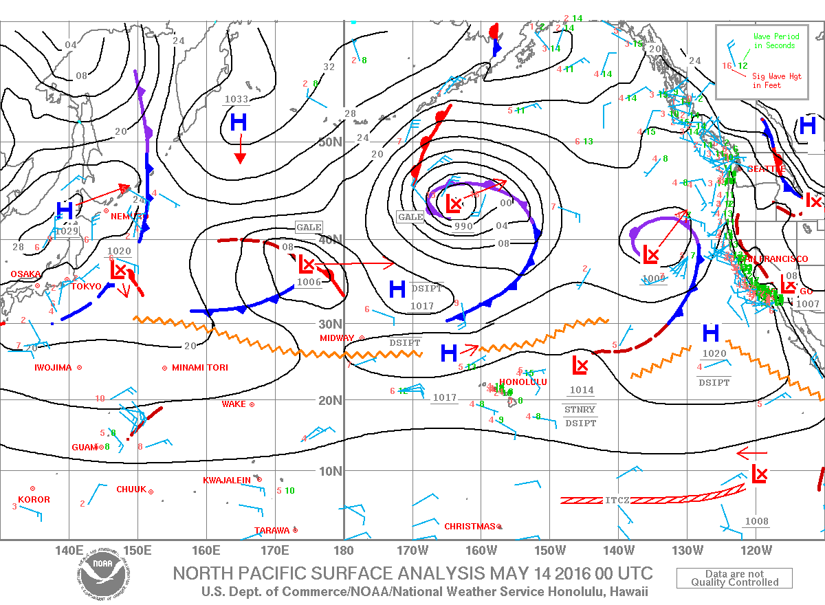
**Click directly on the images below to make them larger. Charts include: Big Island projected winds, tides, swell direction & period and expected wave heights.**
Big Island Surf Forecast
Hilo side: Wave heights for spots exposed to the swell are expected to be ankle/waist high today. Spots without direct exposure to the swell will be smaller.
Kona side: Wave heights are expected to be knee/thigh high today.
South: Wave heights are expected to be waist high or less today out of the southwest. Spots with exposure from wind waves could be shoulder high or more.
A northwest pulse is showing for the weekend but the Kona side will be largely blocked from this swell. The northeast coast will see most of the energy. Storm activity isn’t expected and therefore there are no notable swells on the horizon.
Our current southerly mix is below waist high. Some long period forerunners could filter in on Monday. A south-southwest is expected to show for the 17th through about the 21st.
Keep in mind, surf heights are measured on the face of the wave from trough to crest. Heights vary from beach to beach, and at the same beach, from break to break.
**Click here for your detailed Big Island weather report.**

Image: NOAA / NWS
Sponsored Content
Comments


