

Big Island Weekend Surf Forecast
Alerts
A Small Craft Advisory is posted for all Hawaii County waters and channels through 6 a.m. Saturday for winds up to 25 knots and seas up to 12 feet.
A High Surf Advisory is posted for east facing shores with surf heights of 6 to 9 foot faces expected. The advisory is currently posted through 6 a.m. Saturday.
Check our breaking news section for any urgent weather alerts.
**Click directly on the images below to make them larger. Charts include: Big Island projected winds, tides, swell direction & period and expected wave heights.**
 Big Island Surf Forecast
Hilo side: Wave heights are expected head high today. The best breaks could get up to a couple feet overhead on the sets.
Kona side: Wave heights knee/waist high today from the northwest.
South: Breaks open to the trade swell could get up to shoulder/head high. The best spots could get up to overhead on the sets.
 Our current north-northwest swell is expected to continue fading today. A small reinforcing northwest is expected on Sunday.
Our current south-southwest is down to traces today.
Trade swell continues Saturday and will drop off as winds begin to subside this weekend.
Keep in mind, surf heights are measured on the face of the wave from trough to crest. Heights vary from beach to beach, and at the same beach, from break to break.
**Click here for your detailed Big Island weather report.**
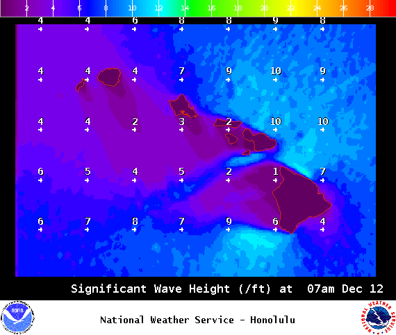
Image: NOAA / NWS

Image: NOAA / NWS
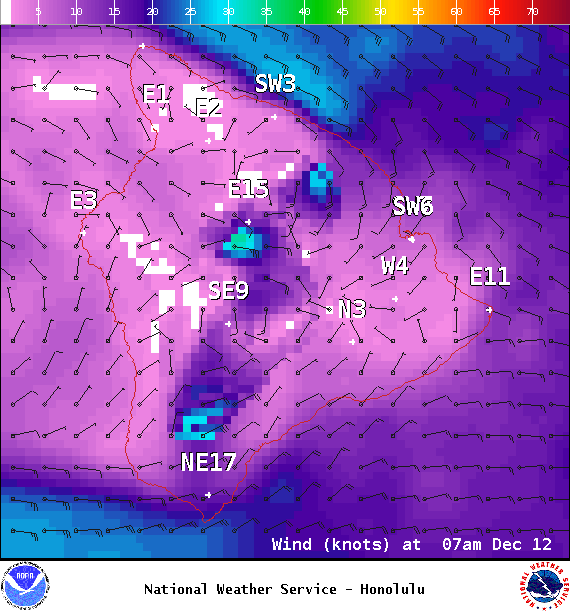
Image: NOAA / NWS
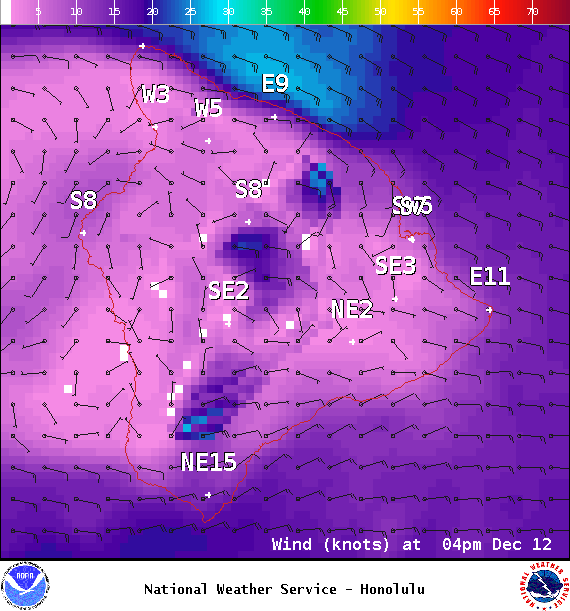
Image: NOAA / NWS

Image: NOAA / NWS
Sponsored Content


