

Hazy Skies, Winds Expected to Weaken Today
Alerts
A High Surf Advisory goes into effect for west facing shores of the Big Island from 6 p.m. this evening through 6 p.m. Friday.
A High Surf Warning is in effect through 6 p.m. Friday for northeast facing shores of the Big Island.
Check our breaking news section for any urgent weather alerts.
**Click directly on the images below to make them larger. Charts include: Big Island high/low forecasted temperatures, projected winds, chance of cloud cover, projected localized weather conditions, vog/SO2 forecast and expected wave heights.**
Looking Ahead
Lingering moisture is forecast to bring some showers to the windward and mauka areas over the next couple of days. Moderate trade winds are beginning to weaken. A new front approaching from the northwest is expected to result in lighter winds through late Friday. Look for winds to become southeasterly, with an increased chance of showers over the weekend into early next week as the frontal system advances closer to the islands.
Today
Today mostly cloudy skies are expected with windward showers likely. Scattered showers are expected for the Kona side. High temperatures from 82° to 87°. Variable winds are forecast up to 15 mph.
UV index at 9 (“very high” exposure level)
Tonight
Variable winds are expected in the evening up to 15 mph. Low temperatures from 68° to 73°. Mostly cloudy skies are expected in the evening with scattered showers for windward spots. Leeward spots should see isolated evening showers and clearing as the night goes on.
Our Big Island Now Weather homepage always includes daily: Sunrise | Sunset | Moonrise | Moonset | Moon Phase | Live Weather Cams | 5-day Forecast | Current Temperature & Conditions
**Click here for your detailed Big Island surf report.**

Image: NOAA / NWS

Image: NOAA / NWS

Image: NOAA / NWS

Image: NOAA / NWS
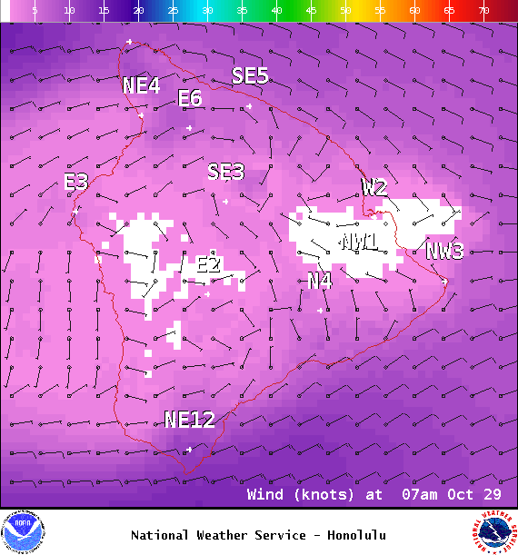
Image: NOAA / NWS
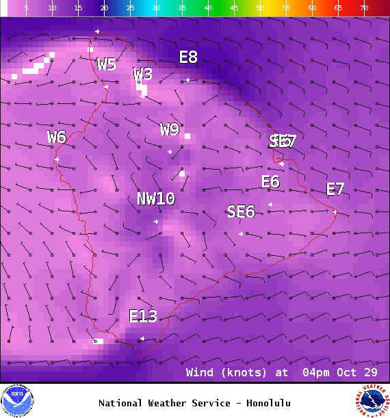
Image: NOAA / NWS
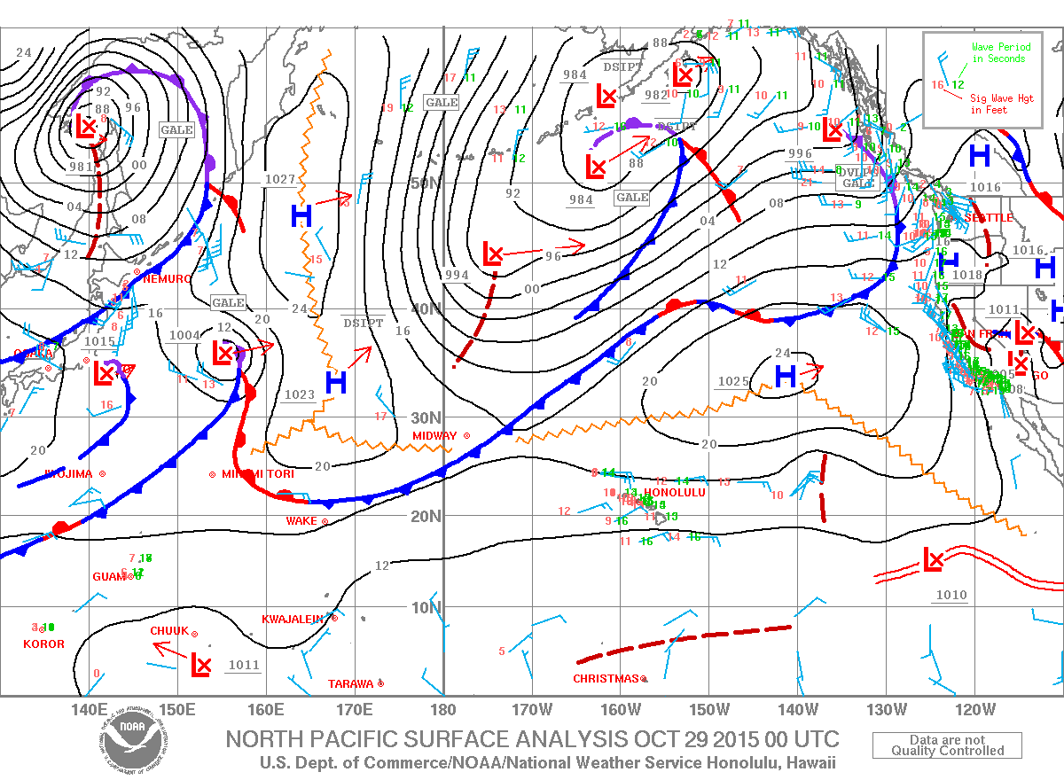
Image: NOAA / NWS
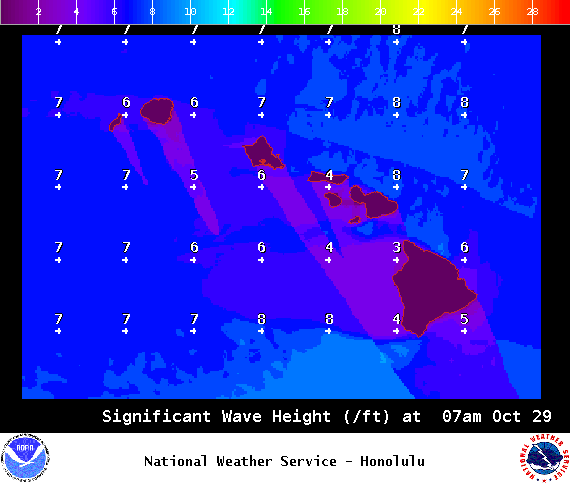
Image: NOAA / NWS
Sponsored Content


