Swells Fading Today on all Shores
Alerts
There are no weather alerts posted at this time.
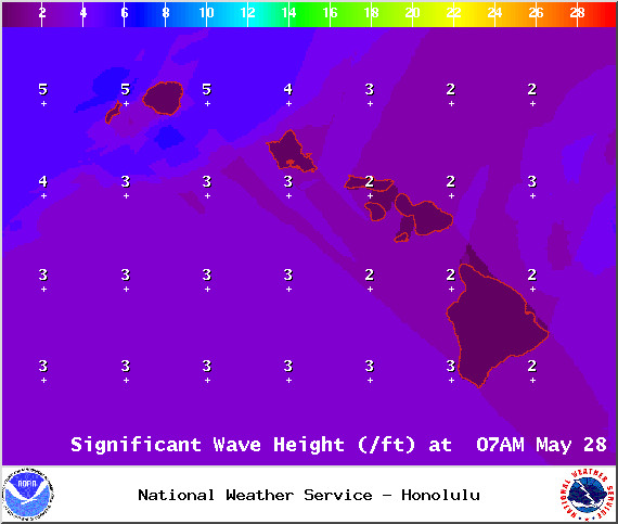
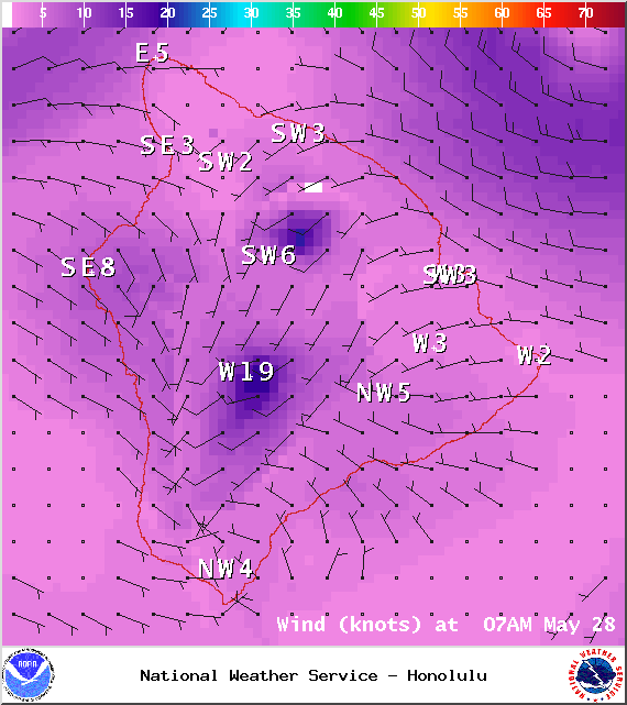
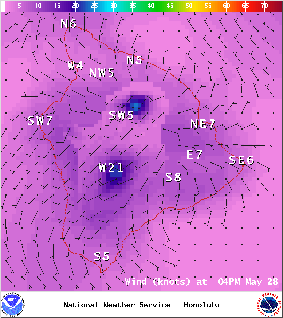
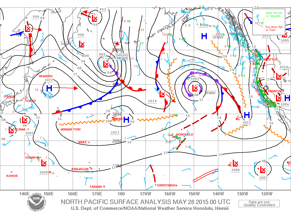
**Click directly on the images below to make them larger. Charts include: Big Island projected winds, tides, swell direction & period and expected wave heights.**
Hilo side: Knee/waist high swell mix is expected today.
Kona side: Wave heights of waist/shoulder high are expected for southerly exposures. Best breaks could get up to head high on the sets.
South: Wave heights waist/shoulder high today. The best breaks could get a little bigger on the sets.
 The current south swell slowly subsides through Thursday. Latest models indicate that a storm now brewing east of New Zealand is producing a swell that is expected to reach us Saturday night, peaking on Monday, with surf likely reaching advisory levels for south facing shores.
A mix of northwest and north-northeast swells are fading today. A small reinforcement is expected Thursday/Friday. Possibly another swell on tap for Sunday/Monday.
Keep in mind, surf heights are measured on the face of the wave from trough to crest. Heights vary from beach to beach, and at the same beach, from break to break.
Sponsored Content
Comments


