

Swell Peaks Today, More on The Way
Alerts
A High Surf Advisory is posted through 6:00 p.m. Saturday for west side of the Big Island. Surf from 6 to 8 feet is expected. Expect strong breaking waves, shore break and strong longshore and rip currents making swimming difficult and dangerous.
A Small Craft Advisory is posted for the Alenuihaha Channel through 6:00 p.m. Saturday for rough seas of 6 to 13 feet. Inexperienced mariners should avoid navigating in these conditions.
**Click directly on the images below to make them larger. Charts include: Big Island projected winds, tides, swell direction & period and expected wave heights.**
 Big Island Surf Forecast, Friday, January 16, 2015
Hilo side: Surf heights are expected waist to head high. The best breaks open to the swell could see larger waves on the sets.
Kona side: Surf heights are forecasted from shoulder to head high. Possibly a couple of feet overhead at the best exposures.
South: Southerly spots are below waist high today. Exposures open to the west-northwest wrap are forecasted to get chest to head high surf.
 Our current advisory level west-northwest swell is expected to peak today, Friday. The Kona coast is open to some of this swell energy and there will be fun waves to be had, maybe even overhead on the sets.
Saturday we expect a northwest reinforcement (similar in size) to build, fading Sunday.
Pending development, models are predicting a much larger northwest swell arriving around the middle of next week, producing surf well above warning levels. Will keep an eye on it.
Nothing of note out of the SPAC to get excited about.
Keep in mind, surf heights are measured on the face of the wave from trough to crest. Heights vary from beach to beach, and at the same beach, from break to break.
**Click here for your detailed Big Island weather report.**
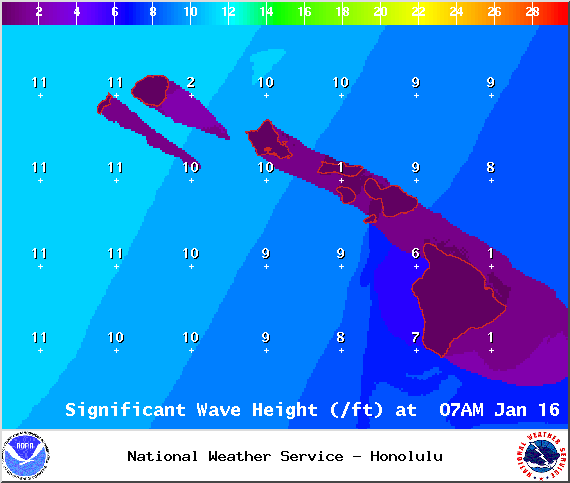
Image: NOAA / NWS

Image: NOAA / NWS

Image: NOAA / NWS
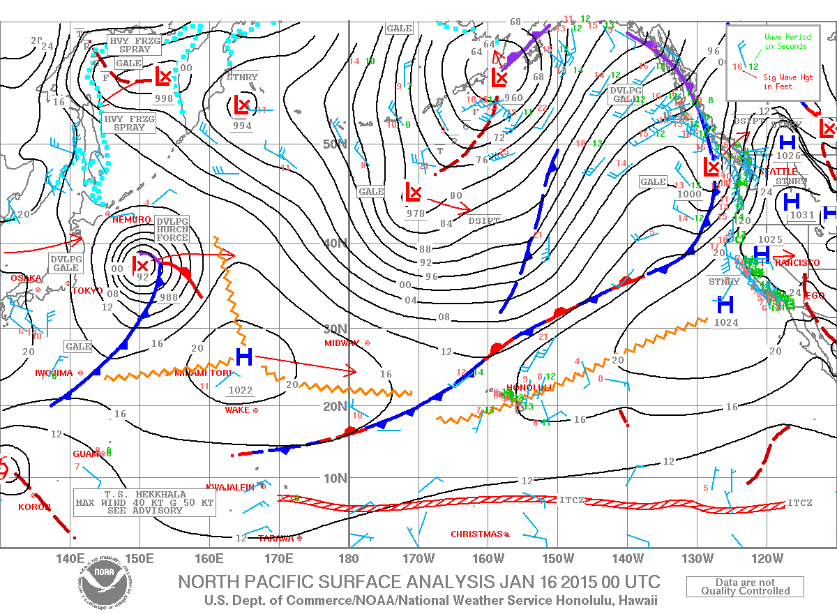
Image: NOAA / NWS
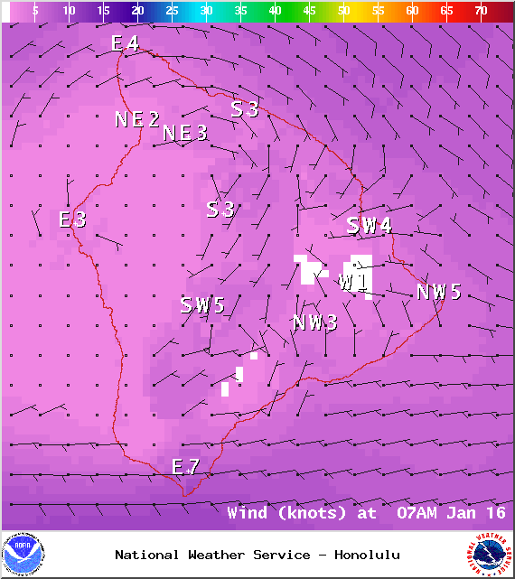
Image: NOAA / NWS

Image: NOAA / NWS
Sponsored Content


