

High Surf Warning in Effect for Large WNW Swell
Alerts
A High Surf Warning is in effect for the Kona side of the Big Island through 6:00 a.m. Tuesday for a large west-northwest swell.
A Small Craft Advisory is in effect for all Big Island waters from 4:00 a.m. through 6:00 a.m. Tuesday as well.
**Click directly on the images below to make them larger. Charts include: Big Island projected winds, tides, swell direction & period and expected wave heights.**
 Big Island Surf Forecast, Monday – December 22
Hilo side: Surf heights are expected from waist to about head high at the best breaks along the Hamakua coast.
Kona side: South-southwest swell fades out today. New west-northwest fills in further. Surf heights from waist to head high or more early in the day building to a few feet overhead by sundown.
South: South-southwest swell fading with thigh to waist high waves at the best exposures. Trade swell is also expected for the southeast coastline with waves up to chest high with some plusses forecasted.
 A west-northwest swell is holding through the day Monday at warning levels. This swell is expected to show best for the Kona side. Surf fades through Wednesday and becomes messy as a front moves through. The Hamakua coast will not see much wrap but instead experiences more trade wind swell out of the southeast. Another solid shot of energy out of the northwest is forecasted to combine with northeast wind swell on Christmas Day.
An out of season boost will continue to fade with waist high waves or less at the best exposures. Otherwise, nothing significant is expected out of the SPAC.
Keep in mind, surf heights are measured on the face of the wave from trough to crest. Heights vary from beach to beach, and at the same beach, from break to break.
**Click here for your detailed Big Island weather report.**
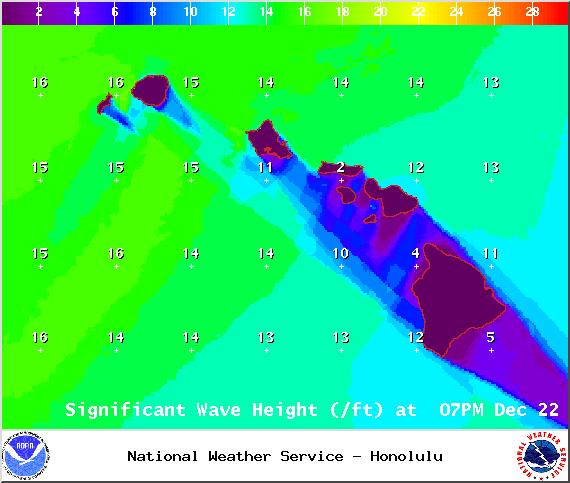
Image: NOAA / NWS

Image: NOAA / NWS

Image: NOAA / NWS
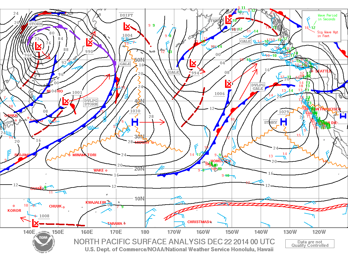
Image: NOAA / NWS
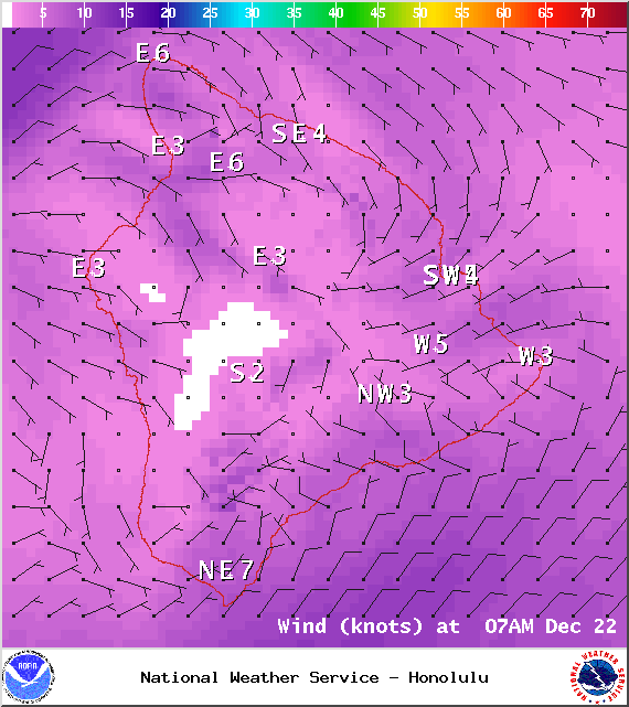
Image: NOAA / NWS
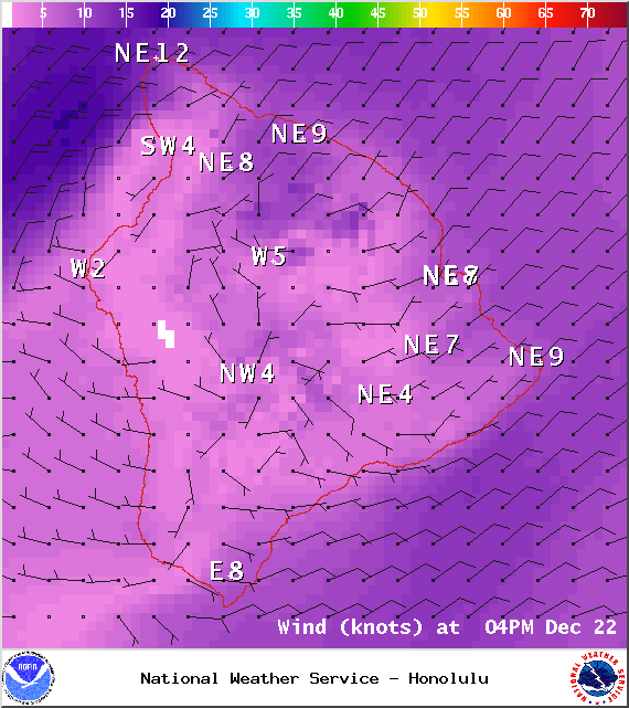
Image: NOAA / NWS
Sponsored Content


