

Series of North Swells Expected
Alerts
A Small Craft Advisory is posted for the ʻAlenuihāhā channel until 6 p.m. Winds up to 25 knots are expected out of the east and rough seas up to 10 feet. Inexperienced mariners should avoid navigating in these conditions.
**Click directly on the images below to make them larger. Charts include: Big Island projected winds, tides, swell direction & period and expected wave heights.**
 Big Island Surf Forecast, Saturday November 22, 2014
Hilo side: Surf is expected head high at the best breaks due to the tradeswell. Waist to shoulder high surf due to the northwest wrapping around the island.
Kona side: Spots that catch some of the wrap could see a slight bump in wave heights, waist high or less. Breaks not exposed to the swells will be flat today.
South: Southeast shores open to the trade swell could see waves up to head high or more, though sloppy and choppy conditions are expected. Waves expected knee high at best for spots catching the fading small southwest.
 Trade winds are gradually on the decline but still generating a bit of swell for the Big Island. Today through Saturday short-period tradeswell is expected to continue affecting windward shores. Conditions will be choppy and sloppy.
Our current west-northwest swell (300-330°) is expected to hold through today. Expected wave heights are up to possibly head high for the Hilo side and waist high for the Kona side but inconsistent.
Another northwest swell (305-330°) is expected to build late Sunday. We could see wave heights head high or more for the Hamakua coast in the afternoon. Kona side will be shadowed but still catch a fraction of the wrap. There’s also the possibility of a north swell for the middle of next week.
Our current small bump (220-190°) is expected to be knee high or less at the best breaks through today and fades through the weekend. Otherwise, super small trace amounts of swell expected out of the SPAC. There isn’t much on the horizon to get excited about.
Keep in mind, surf heights are measured on the face of the wave from trough to crest. Heights vary from beach to beach, and at the same beach, from break to break.
**Click here for your detailed Big Island weather report.**
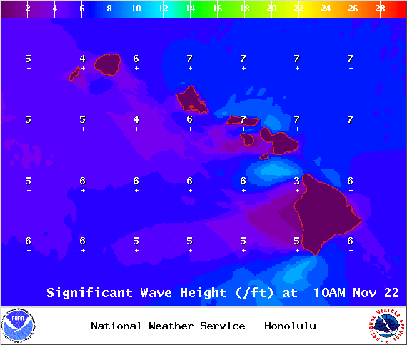
Image: NOAA / NWS

Image: NOAA / NWS

Image: NOAA / NWS

Image: NOAA / NWS
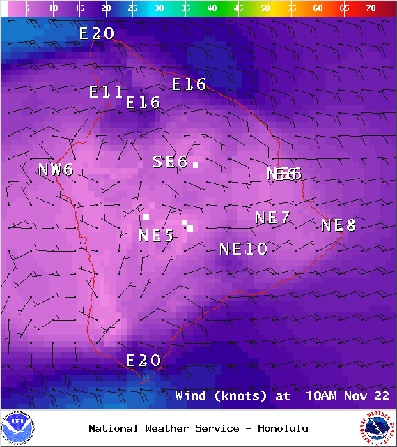
Image: NOAA / NWS
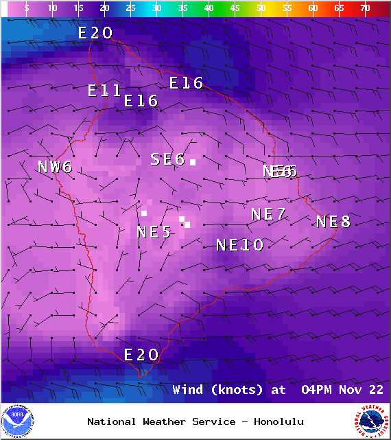
Image: NOAA / NWS
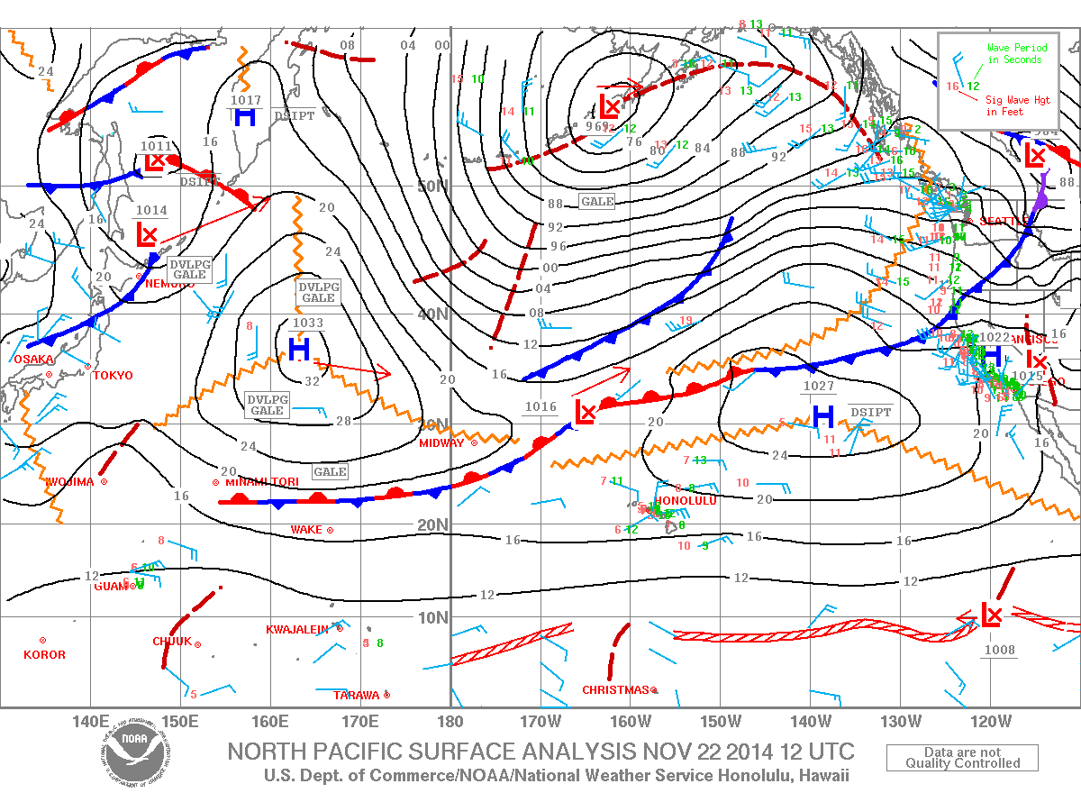
Image: NOAA / NWS
Sponsored Content


