

Hawaii County Surf Forecast for October 29, 2026
Forecast for Big Island Windward and Southeast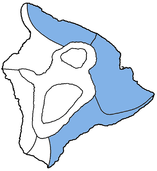
| Shores | Tonight | Thursday | ||
|---|---|---|---|---|
| Surf | Surf | |||
| PM | AM | AM | PM | |
| North Facing | 4-6 | 4-6 | 4-6 | 4-6 |
| East Facing | 3-5 | 3-5 | 3-5 | 3-5 |
| South Facing | 6-8 | 5-7 | 6-8 | 6-8 |
| Weather | Mostly cloudy. Frequent showers with isolated thunderstorms. |
||||||
|---|---|---|---|---|---|---|---|
| Low Temperature | In the mid 70s. | ||||||
| Winds | South winds around 15 mph, becoming southwest around 5 mph after midnight. |
||||||
|
|||||||
| Weather | Mostly cloudy. Numerous showers. | |||||
|---|---|---|---|---|---|---|
| High Temperature | In the mid 80s. | |||||
| Winds | West winds around 5 mph, becoming northeast in the afternoon. |
|||||
|
||||||
| Sunrise | 6:20 AM HST. | |||||
| Sunset | 5:48 PM HST. | |||||
Forecast for Big Island Leeward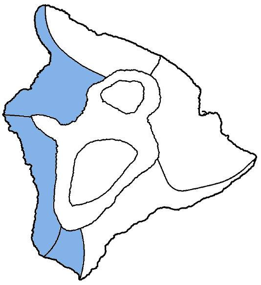
| Shores | Tonight | Thursday | ||
|---|---|---|---|---|
| Surf | Surf | |||
| PM | AM | AM | PM | |
| West Facing | 3-5 | 3-5 | 3-5 | 3-5 |
| South Facing | 6-8 | 5-7 | 6-8 | 6-8 |
| Weather | Partly sunny. Scattered showers. |
|---|---|
| High Temperature | In the upper 80s. |
| Winds | Southwest winds around 5 mph. |
| Sunrise | 6:24 AM HST. |
| Sunset | 5:52 PM HST. |
Swell Summary
A small northwest swell will continue a slow decline through Thursday then fade on Friday, but a small, short-period north- northeast swell will maintain small surf along northern shores during the next few days. A larger, long-period northwest swell will arrive late Saturday and may push surf above the high surf advisory threshold Sunday. The swell will shift more northerly and may briefly build further on Monday before dropping Tuesday.
A series of overlapping south-southwest swells will maintain south shore surf above seasonal average through the weekend. Surf along south-facing shores will decline to around seasonal average early next week.
Surf along most east-facing shores will be dominated by wrapping north to north-northeast swell energy, producing periods of moderate surf. Strong northeast winds and a large, rough north- northeast swell are possible Sunday night and Monday.
NORTH EAST
NORTH WEST
WEST
SOUTH EAST
Data Courtesy of NOAA.gov and SwellInfo.com