


UPDATE 6: High wind advisory canceled for Kohala, high surf advisory canceled
The high surf advisory has been canceled.
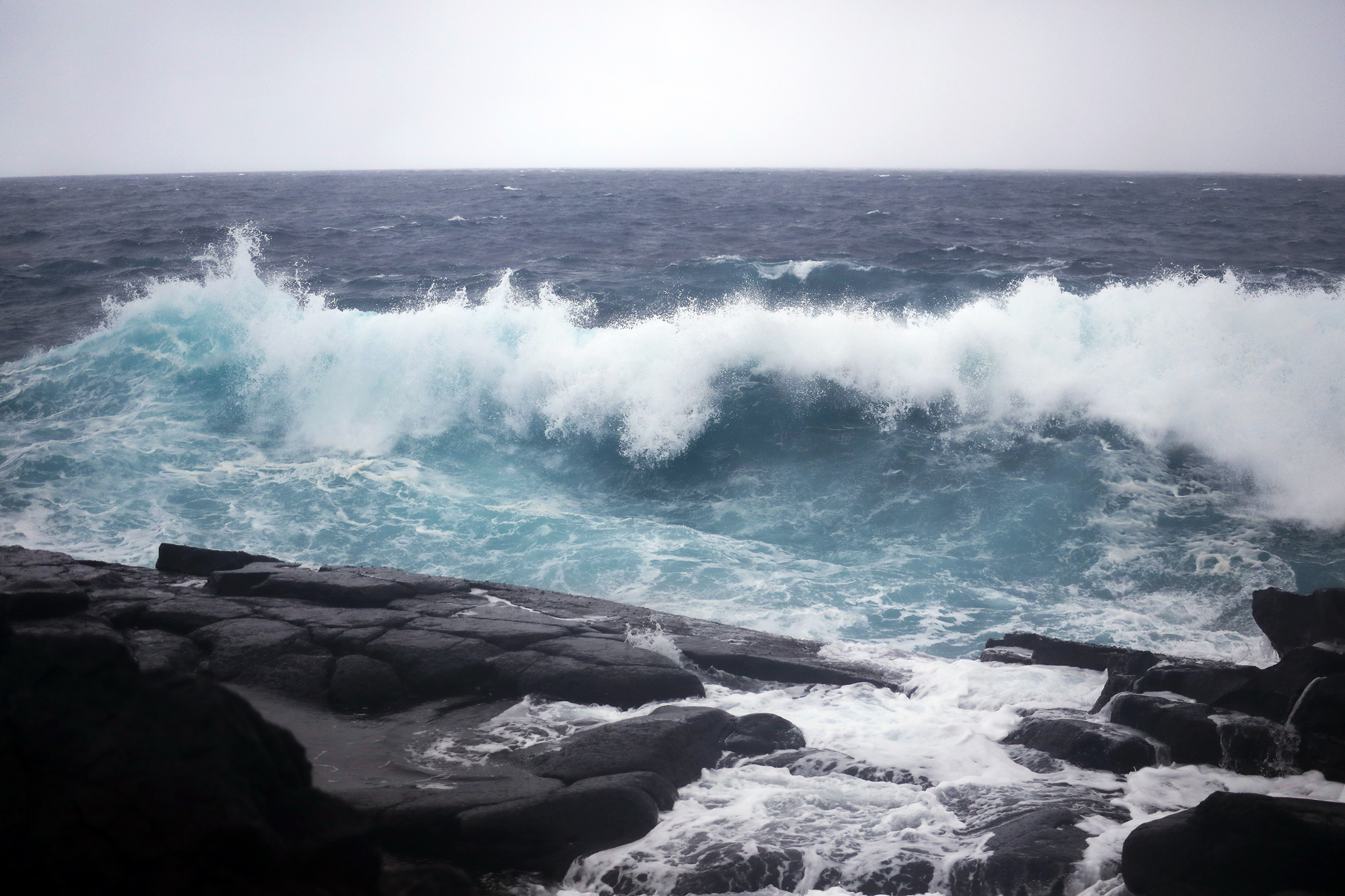
Update 6 at 3 p.m. Sept. 28: High surf advisory is canceled
Update 5 at 7:30 a.m. Sept. 28: Wind advisory for Kohala is canceled.
Update 4 at 4 p.m. Sept. 27: As Hurricane Nolo continues to move west and away from Hawaiʻi Island, conditions continue to improve.
The National Weather Service has canceled the high wind warning and high surf advisory for Hawaiʻi Island, but a wind advisory will remain in effect through 6 a.m. Monday morning.
High winds may cause interruptions in power and communications and hazardous road conditions.
Highway 250, or the Kohala Mountain Road, remains closed due to strong winds and hazardous conditions. All other major highways and roadways are open at this time.
For more information on road status please visit the Hawaiʻi County Civil Defense Agency website or contact the Civil Defense office at (808) 935-0031.
Update 3 at 10 a.m. Sept. 27: A high wind warning and high surf advisory are in effect for portions of the Big Island as Hurricane Nolo moves away from the Hawaiian Islands.
A high surf advisory is in effect for the east-facing shores of the Big Island as southeast swells generated by Hurricane Nolo are beginning to decline through 6 p.m. Sunday.
Forecasters predict large breaking waves of 9 to 12 feet in the morning, which will diminish to 7 to 10 feet by this evening.
Strong breaking waves and strong currents will make swimming dangerous. Waves breaking in channel entrances may make navigating the channels dangerous.
As east winds reach 30 to 45 mph with gusts up to 75 mph, a high wind warning is in effect for Kohala until 6 p.m. Sunday evening.
Damaging winds may blow down trees and power lines and damage roofs. Power outages are possible. Hazardous driving conditions due to powerful cross winds will pose a serious risk for drivers, especially for light weight and high profile vehicles. Loose outdoor items should be brought inside or secured properly.
Update 2 at 10:03 p.m. Sept. 26: The flood advisory for areas along the southeast slopes of the Big Island is extended again, now until 12:45 a.m. Sunday.
Emergency management officials reported shortly after 9 p.m. Saturday that several roads in Puna and Kau remain closed because of flooding.
Areas of moderate rain will continue to move into southeast portions of the Big Island during the next few hours, with rainfall rates continuing generally at half an inch to 1 inch per hour.
Update at 6:42 p.m. Sept. 26: The flood advisory in effect for southeastern slopes of the Big Island was extended to 9:45 p.m.
Emergency management officials reported shortly after 6 p.m. Saturday that portions of Highway 11 remain closed in both directions because flooding. Locations include:
- Between Pinao Street and Kaʻaluʻalu Road in Waiʻōhinu.
- Between Nāʻālehu and Nīnole.
- Kaʻalāiki Road remains near the intersection with Highway 11 in Nāʻālehu.
Areas of moderate rain will continue to move into southeast portions of the Big Island during the next few hours, with rain now falling at rates generally of half an inch to 1 inch per hour.
Some locations that will experience flooding include Hawaiian Paradise Park, Hawaiʻi Volcanoes National Park, Wood Valley, Volcano, Pāhala, Glenwood, Punaluʻu Black Sand Beach, Kāwā Flats, Mountain View and Hawaiian Acres.
Story originally posted 5:01 p.m. Sept. 26, 2026: A new flood advisory is also now in effect until 6:45 p.m. for several locations on the Big Island as flooding caused by excessive rainfall is expected, resulting in minor flooding on roads and in poor drainage areas and streams.
National Weather Service doppler radar indicated at 3:48 p.m. moderate rain falling over the southeast slopes of the island, mainly between Nāʻālehu and Wood Valley.
Hawaiʻi County Civil Defense also reported flooding on Kaʻalāiki Road near Highway 11 in Nāʻālehu and a portion of Highway 11 in Waiʻōhinu, prompting road closures.
Minor flooding is ongoing or expected to begin shortly in the advisory area. Rain was falling at half an inch to 1 inch per hour.
Some locations that will experience flooding include Hawaiian Paradise Park, Hawaiʻi Volcanoes National Park, Wood Valley, Volcano, Pāhala, Glenwood, Punaluʻu Black Sand Beach, Kāwā Flats, Mountain View and Hawaiian Acres.
The public should stay away from streams, drainage ditches and low-lying areas prone to flooding.
A flood watch also remains in effect until 6 p.m. for the entire Big Island.






