

Big Island weather update for Sunday: Flood watch issued until 6 p.m. Monday
Updated 4 a.m., Sunday, April 12
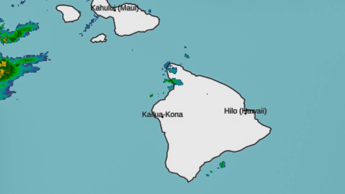
All of the Hawaiian Islands are under a flood watch until 6 p.m. Monday, according to the National Weather Service in Honolulu.
But the heaviest rain is expected over Molokaʻi, Oʻahu and Kauaʻi.
The forecast for the Big Island on Sunday is scattered showers after 8 a.m. It will be cloudy, with a high near 58 and southeast winds around 7 mph. The chance of precipitation is 40%. New precipitation amounts between a tenth and quarter of an inch are possible.
The reason for the flood watch is that a low pressure northwest of the islands will draw deep tropical moisture northward, bringing a high likelihood of heavy rainfall capable of causing flash flooding. This is especially the case due to many areas already be saturated due to recent rainfall.
A flood watch means conditions are favorable for flooding, but it is not currently happening or imminent.
Significant flooding may occur due to excessive rainfall and overflow of streams and drainages. Roads in several areas may be closed, along with property damage in urban or low lying spots due to runoff. Landslides may also occur in areas with steep terrain.
Sponsored Content


