

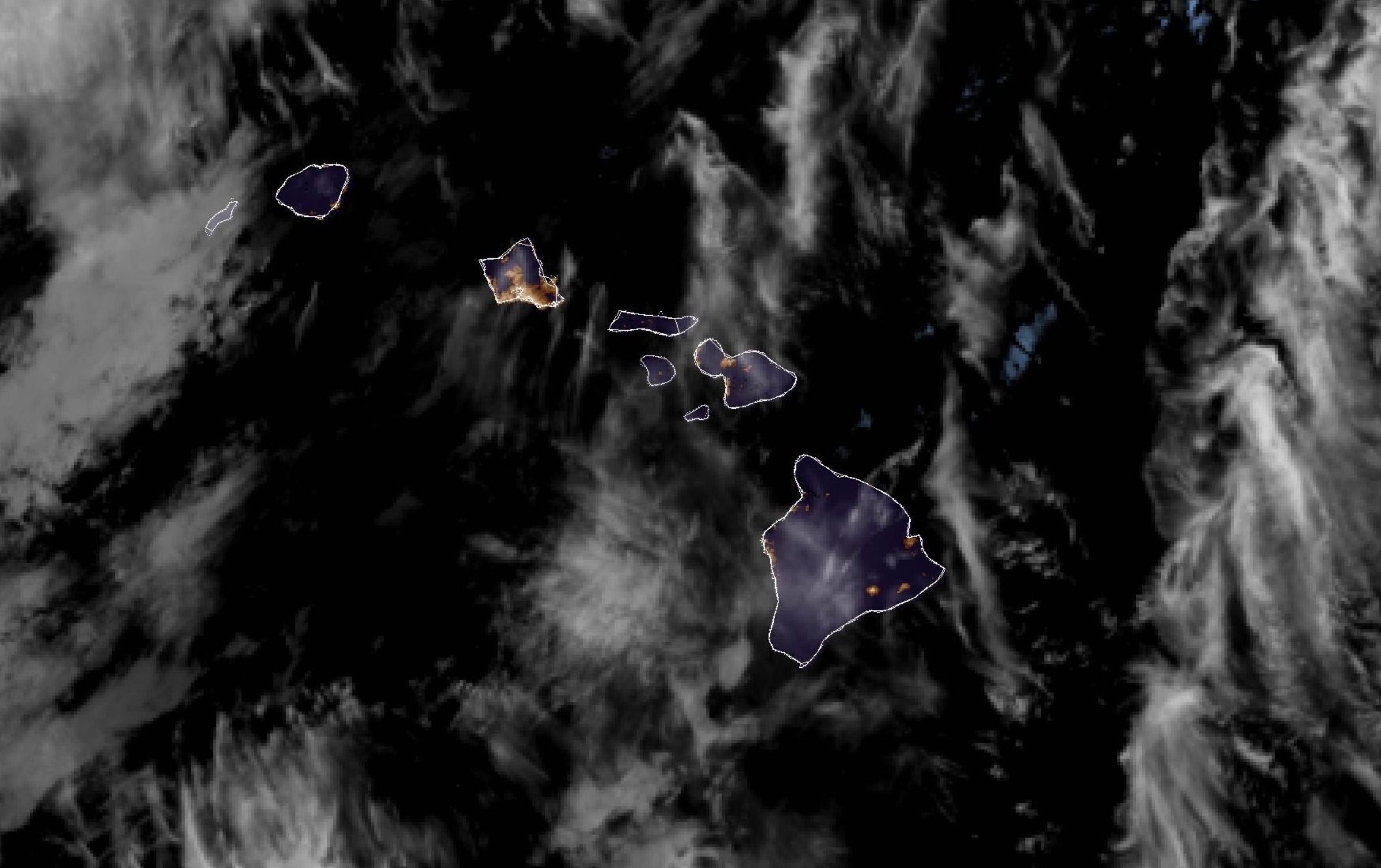
Big Island Saturday severe weather updates: Flood watch remains in effect with renewed chance for heavy rains throughout state
Update at 7:11 p.m. Saturday, April 11, 2026: National Weather Service in Honolulu reports in its Saturday afternoon, April 11, weather briefing that additional showers and isolated thunderstorms will spread over the western half of the state, bringing a renewed chance for more heavy rainfall and a serious concern about even more flooding in some of the most already soaked places of the islands.
There is a slight chance of thunderstorms into early evening, mainly over the Big Island interior.
Sunday through Monday, April 12-13, looks to be the best chance for more flooding on the western islands, possibly even extending east to Moloka‘i.
Locally heavy rain chances will increase through Saturday night and Sunday, especially over O‘ahu, Kaua‘i and Moloka‘i. Areas of those three islands and anywhere else with already super saturated grounds could experience rapid flooding if rainfall rates intensify.
A flood watch remains in effect until 6 p.m. Monday, April 13, for the entire state.
Several additional inches of rain is likely over O‘ahu, and potentially part or all of Moloka‘i.
“From a forecast accuracy standpoint, there is some concern that the heavy rain band could hang up in the Kaiwi Channel between O‘ahu and Moloka‘i, but the expectation for a slow westward drift suggests O‘ahu will ultimately receive several hours of heavy rainfall one way or another,” said the National Weather Service area forecast discussion for Hawai‘i from shortly after 3 p.m. Saturday.
A heavy rain band potentially reaches Kaua‘i on Sunday night, but that remains rather uncertain.
On the other hand, confidence is increasing that the Big Island will remain largely dry, save for typical afternoon showers over upslope areas.
Update at 5:16 a.m. Saturday, April 11, 2026: National Weather Service forecasters in Honolulu canceled the flood advisory that was in effect until 5 a.m. Saturday, April 11. It was nixed at 4:43 a.m., just 17 minutes before it was set to expire.
Radar shows heavy rain has diminished and flooding is no longer expected to pose a threat.
A flood watch remains in effect, however, until 6 p.m. Monday, April 13, for the entire state, including the Big Island.
Update at 3:40 a.m. Saturday, April 11, 2026: The National Weather Service in Honolulu issued a new flood advisory that now is in place until 5 a.m. Saturday for the entire Big Island because of excessive rainfall.
It also extended the flood watch in place for the entire state — including the Big Island — through 6 p.m. Monday.
A flood advisory means conditions for minor flooding are imminent occurring, while a flood watch means conditions are favorable for flooding, so be prepared.
The winter weather advisory and the wind advisory previously in place for the Big Island were canceled.
At 1:47 a.m. Saturday, National Weather Service radar and automated rain gauges indicated moderate to heavy rain falling at 0.5 to 1.5 inches an hour over the Big Island.
Flooding on roads and in poor drainage areas and streams, which also are already elevated, can be expected.
Some locations that will experience flooding include Kailua-Kona, Captain Cook, Waikoloa Village, Kapaau, Hōlualoa, Honalo, Puʻu Anahulu, Kāʻināliu, Kahaluʻu-Keauhou, Kalaʻoa, Kealakekua, Pōhakuloa Training Area, Hōnaunau, Puakō, Kawaihae, Waimea, Kohala Ranch, Pololū Valley, Hala‘ula and Hāwī.
Forecasters in Honolulu extended the flood watch for the state because a disturbance approaching from the northwest is expected to renew deep tropical moisture across all Hawaiian Islands beginning late Saturday night.
Given saturated soils and elevated stream levels following recent heavy rainfall, flooding could redevelop quickly.
Sponsored Content


