

UPDATE: High surf advisory extended for east-facing Hawaiʻi shores until 6 p.m. Tuesday
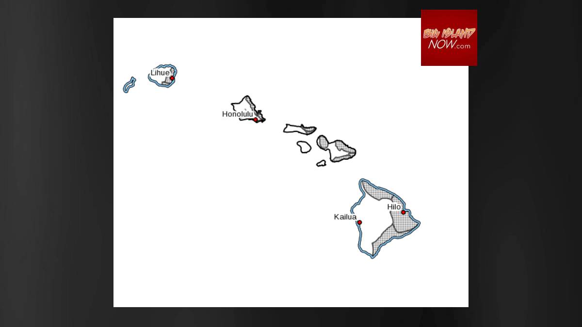
Updated at 3:50 p.m. on Feb. 25: The National Weather Service has extended the high surf advisory for east-facing shores of the Big Island, Kauaʻi, Oʻahu, Molokaʻi and Maui until 6 p.m. on Tuesday.
Strong trade winds will bring large and rough surf to east-facing shores through Saturday afternoon. Surf heights along east-facing shores will briefly dip below advisory levels tonight through Sunday, and then rise back to advisory thresholds from Monday through much of next week with strengthening trade winds.
Surf is forecast at 7 to 10 feet, but will drop to 6 to 8 feet at times Saturday night through Sunday.
Original post: The National Weather Service said the high surf advisory for east-facing shores of the Big Island, Kauaʻi, Oʻahu, Molokaʻi and Maui remains in effect until 6 p.m. on Saturday.
Strong trade winds will bring large and rough surf to east-facing shores through Saturday afternoon.
Surf heights along east-facing shores will briefly dip below advisory levels tonight through Sunday, and then rise above advisory thresholds from Monday through much of next week with strengthening trade winds.
On Saturday, surf of 7 to 10 feet is expected.
Strong breaking waves and strong currents will make swimming dangerous. Head all advice from ocean safety officials. When in doubt, don’t go out.
Sponsored Content


