

Hawaii County Weather Forecast for November 15, 2021
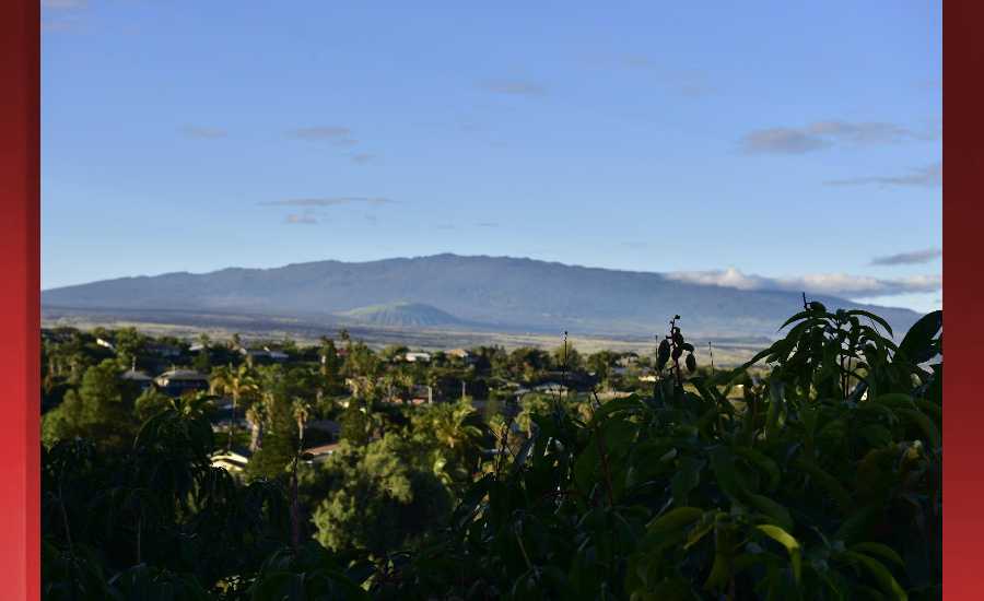
Photo Credit: James Grenz
Hilo
Today: Partly sunny with scattered showers. Highs around 82 near the shore to around 74 at 4000 feet. Southeast winds 10 to 15 mph. Chance of rain 50 percent.
Tonight: Mostly cloudy with scattered showers. Lows around 69 near the shore to around 57 at 4000 feet. Light winds. Chance of rain 50 percent.
Tuesday: Partly sunny with scattered showers. Highs around 84 near the shore to around 75 at 4000 feet. Southeast winds around 10 mph in the morning becoming light. Chance of rain 50 percent.
Kona
Today: Partly sunny with scattered showers. Highs around 87 near the shore to 69 to 74 near 5000 feet. South winds around 10 mph. Chance of rain 40 percent.
Tonight: Partly cloudy with isolated showers. Lows around 75 near the shore to 55 to 60 near 5000 feet. Light winds. Chance of rain 20 percent.
Tuesday: Sunny with isolated showers. Highs around 88 near the shore to around 73 near 5000 feet. Light winds. Chance of rain 20 percent.
Waimea
Today: Partly sunny with scattered showers. Highs around 83 near the shore to around 76 near 3000 feet. Southeast winds up to 10 mph. Chance of rain 50 percent.
Tonight: Mostly cloudy with scattered showers. Lows around 70 near the shore to around 60 near 3000 feet. Light winds. Chance of rain 40 percent.
Tuesday: Mostly sunny in the morning then becoming partly sunny. Scattered showers. Highs around 83 near the shore to around 77 near 3000 feet. Light winds. Chance of rain 40 percent.
Kohala
Today: Partly sunny with scattered showers. Highs around 83 near the shore to around 76 near 3000 feet. Southeast winds up to 10 mph. Chance of rain 50 percent.
Tonight: Mostly cloudy with scattered showers. Lows around 70 near the shore to around 60 near 3000 feet. Light winds. Chance of rain 40 percent.
Tuesday: Mostly sunny in the morning then becoming partly sunny. Scattered showers. Highs around 83 near the shore to around 77 near 3000 feet. Light winds. Chance of rain 40 percent.
South Big Island
Today: Partly sunny with scattered showers. Highs around 85 near the shore to around 69 near 5000 feet. East winds 10 to 15 mph. Chance of rain 40 percent.
Tonight: Partly cloudy with isolated showers. Lows around 71 near the shore to around 55 near 5000 feet. East winds around 10 mph. Chance of rain 20 percent.
Tuesday: Mostly sunny with isolated showers. Highs around 86 near the shore to around 71 near 5000 feet. East winds around 10 mph in the morning becoming light. Chance of rain 20 percent.
Puna
Today: Partly sunny with scattered showers. Highs around 82 near the shore to around 74 at 4000 feet. Southeast winds 10 to 15 mph. Chance of rain 50 percent.
Tonight: Mostly cloudy with scattered showers. Lows around 69 near the shore to around 57 at 4000 feet. Light winds. Chance of rain 50 percent.
Tuesday: Partly sunny with scattered showers. Highs around 84 near the shore to around 75 at 4000 feet. Southeast winds around 10 mph in the morning becoming light. Chance of rain 50 percent.
Waikoloa
Today: Partly sunny with scattered showers. Highs around 84 near the shore to 70 to 77 above 4000 feet. Light winds. Chance of rain 50 percent.
Tonight: Partly cloudy with isolated showers. Lows around 72 near the shore to 54 to 61 above 4000 feet. Light winds. Chance of rain 20 percent.
Tuesday: Sunny. Isolated showers in the afternoon. Highs 82 to 87 near the shore to 71 to 77 above 4000 feet. Light winds. Chance of rain 20 percent.
Detailed Forecast
Synopsis
Unsettled weather conditions will linger this morning as we transition back towards a drier weather pattern by Tuesday. Light background east to southeast winds will continue with local scale land and sea breezes over each island through Wednesday. Light to moderate trade winds will return for Thursday and Friday. Mostly fair weather conditions are forecast from Tuesday onward with just brief showers possible, favoring island mountain and interior sections.
Discussion
This mornings radar imagery shows moderate showers developing south of the island chain, expect some of these showers will drift into East Maui this morning. Satellite imagery shows an upper level trough passing eastward across the region. Drier conditions are starting to move into Kauai and will slowly spread eastward to the other islands later today.
Unsettled weather will continue to linger across the state today especially over Maui County where a plume of unstable tropical moisture continues to drift northward over the area. A low level trough, remnants of the dissipated front, has stalled near Kauai. An upper level trough moves eastward across the region likely enhancing showers over central and eastern islands. The flash flooding threat has diminished this morning and the Flood Watch was cancelled.
Light east to southeast background winds will continue on Tuesday and Wednesday, as the high pressure ridge north of the islands remains in a weakened state. These light large scale winds will allow land and sea breeze conditions to develop over each island. Trade winds will strengthen a bit on Thursday and Friday with light to moderate easterly winds and localized sea breezes along leeward island slopes. Lighter wind trends will continue into the upcoming weekend with land and sea breezes over leeward areas. Fair weather remains in the forecast from Tuesday onward with brief showers possible over island mountain and interior sections.
Aviation
An upper trough near Kauai will continue to advect relatively deep tropical moisture over the islands from the south today and generate scattered showers. There may be brief periods of MVFR ceilings and visibility associated with this activity.
Light east or southeastly flow will lead to sea breeze development by late this morning and into the afternoon.
AIRMET TANGO remains in effect for areas west of Oahu between 18000 and 25000 feet due tempo moderate turbulence.
Marine
Light winds are here to stay for most areas through at least the first half of the week as low pressure to the north lifts northeastward and away from the area. Background winds will remain out of the southeast over the eastern end of the state and variable over the western end due to a weak trough lingering. Guidance does reflect a light northeast flow setting up over Kauai and Oahu Tuesday night through Thursday with a transition back to light to moderate easterly trades by Friday statewide as the ridge sets up to the north.
Surf along north facing shores will gradually ease through the week as the current north-northwest swell shifts out of the north- northeast and lowers. The small trend will persist through the weekend.
Surf along east facing shores may trend up slightly Tuesday through midweek as the swell shifts out of the north-northeast. Otherwise, small surf will continue due to a combo of light winds locally and limited upstream fetch.
HFO Watches/Warnings/Advisories
None.
Big Island Now Weather is brought to you by Blue Hawaiian Helicopters.
Check out their Big Island Helicopter Tours today!
Data Courtesy of NOAA.gov
Sponsored Content


