

Hawaii County Weather Forecast for August 03, 2021
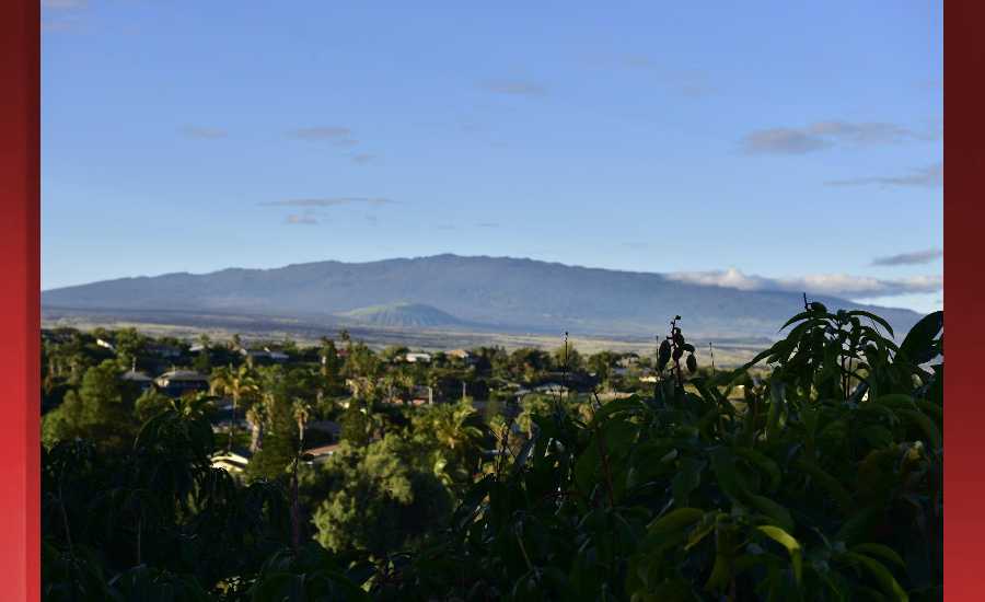
Photo Credit: James Grenz
Hilo
Today: Scattered showers. Partly sunny, with a high near 80. Light and variable wind becoming northeast 5 to 8 mph in the afternoon. Chance of precipitation is 50%. New precipitation amounts of less than a tenth of an inch possible.
Tonight: Showers likely, mainly after 7pm. Mostly cloudy, with a low around 67. Northeast wind around 5 mph becoming calm in the evening. Chance of precipitation is 60%. New precipitation amounts of less than a tenth of an inch possible.
Wednesday: Showers likely, mainly before 1pm. Partly sunny, with a high near 80. Northeast wind 3 to 7 mph. Chance of precipitation is 60%. New precipitation amounts of less than a tenth of an inch possible.
Kona
Today: Isolated showers after noon. Partly sunny, with a high near 80. West wind 5 to 7 mph becoming calm in the afternoon. Chance of precipitation is 20%.
Tonight: Partly cloudy, with a low around 67. Light and variable wind.
Wednesday: Scattered showers after noon. Mostly sunny, with a high near 80. Calm wind becoming west northwest around 6 mph. Chance of precipitation is 30%. New precipitation amounts of less than a tenth of an inch possible.
Waimea
Today: Scattered showers. Mostly sunny, with a high near 74. Breezy, with a northeast wind 18 to 22 mph, with gusts as high as 31 mph. Chance of precipitation is 30%. New precipitation amounts of less than a tenth of an inch possible.
Tonight: Scattered showers. Partly cloudy, with a low around 60. Breezy, with an east wind 13 to 18 mph, with gusts as high as 25 mph. Chance of precipitation is 40%. New precipitation amounts of less than a tenth of an inch possible.
Wednesday: Scattered showers, mainly before noon. Mostly sunny, with a high near 73. East northeast wind around 14 mph, with gusts as high as 18 mph. Chance of precipitation is 40%. New precipitation amounts of less than a tenth of an inch possible.
Kohala
Today: Scattered showers. Mostly sunny, with a high near 68. Windy, with an east wind 26 to 29 mph, with gusts as high as 41 mph. Chance of precipitation is 50%. New precipitation amounts of less than a tenth of an inch possible.
Tonight: Showers likely, mainly after 11pm. Mostly cloudy, with a low around 57. Windy, with an east wind 21 to 30 mph, with gusts as high as 44 mph. Chance of precipitation is 60%. New precipitation amounts of less than a tenth of an inch possible.
Wednesday: Showers likely, mainly before noon. Partly sunny, with a high near 68. Breezy, with an east wind 18 to 22 mph, with gusts as high as 31 mph. Chance of precipitation is 60%. New precipitation amounts of less than a tenth of an inch possible.
South Big Island
Today: Sunny, with a high near 84. Windy, with an east wind 24 to 28 mph, with gusts as high as 36 mph.
Tonight: Mostly clear, with a low around 74. Windy, with an east wind 21 to 25 mph, with gusts as high as 32 mph.
Wednesday: Sunny, with a high near 84. Windy, with an east wind around 23 mph, with gusts as high as 30 mph.
Puna
Today: Showers likely, mainly before noon. Partly sunny, with a high near 76. North northwest wind 7 to 14 mph becoming northeast in the afternoon. Winds could gust as high as 18 mph. Chance of precipitation is 60%. New precipitation amounts of less than a tenth of an inch possible.
Tonight: Showers likely. Mostly cloudy, with a low around 65. North northeast wind 6 to 10 mph. Chance of precipitation is 70%. New precipitation amounts between a tenth and quarter of an inch possible.
Wednesday: Showers likely, mainly before noon. Partly sunny, with a high near 76. Northeast wind 9 to 13 mph. Chance of precipitation is 60%. New precipitation amounts of less than a tenth of an inch possible.
Waikoloa
Today: Sunny, with a high near 84. Breezy, with a northeast wind 14 to 18 mph, with gusts as high as 25 mph.
Tonight: Mostly clear, with a low around 67. East wind 6 to 14 mph, with gusts as high as 18 mph.
Wednesday: Sunny, with a high near 84. North wind 5 to 7 mph.
Detailed Forecast
Synopsis
High pressure far north of the state will drive breezy trades through the week. Scattered showers will favor windward and mauka areas primarily during the overnight and morning hours.
Discussion
High pressure far north of the state will drive breezy trades throughout the week. Slight wind speed fluctuations are expected, with a slight decrease in winds possible around Wednesday or Thursday. Models show little overall change in our flow pattern through the forecast period.
Satellite loop shows patchy broken to overcast low clouds across windward and mauka portions of the smaller islands, with mostly clear to clear skies noted leeward this morning. Broken to overcast low clouds linger across most Big Island shores and slopes, leaving only leeward Kohala and Kau with mostly clear skies. Radar shows isolated to scattered showers associated with this cloud cover, favoring windward slopes. Total rainfall has been light all night.
For rest of the week, expect typical summer trade wind weather, with the best chance for showers during the overnight and early morning hours. Leeward areas will continue to remain mostly dry. The continued dryness over leeward areas, combined with breezy trade winds, could elevate fire weather concerns once again this week.
Aviation
Robust high pressure far north of the area will sustain breezy to locally strong trade winds through tonight. Quick-moving showers riding on the trades will mainly affect windward and mauka sections across the state, especially on the Big Island. However, VFR will hold sway predominantly.
An AIRMET remains in effect for low level turbulence to the lee of the mountains across the island chain because of the breezy to strong trades. The AIRMET will likely continue in effect at least through this evening.
Marine
A strong high pressure system far northeast of the state will gradually weaken through the end of the week and drift more north of the island chain. A Small Craft Advisory remains in effect for all Hawaiian coastal waters until this evening. Gradually weakening trade winds starting today will decrease the SCA coverage to the typical windier waters near Maui County and the Big Island starting tonight and likely continuing through Saturday.
The strong trades will continue to produce rough and slightly elevated surf along east facing shores today. On Wednesday as the trade winds will decrease, and we expect the surf heights to decline to near the summertime averages from Wednesday onward. South and southeast swells will continue to keep south facing shores from going flat through Thursday. A small south-southwest swell is currently expected to arrive Friday, which may provide a small boost in surf heights heading into next weekend. Expect nearly flat conditions along most north and west facing shores through the week.
HFO Watches/Warnings/Advisories
Small Craft Advisory until 6 PM HST Wednesday for Maalaea Bay, Pailolo Channel, Alenuihaha Channel, Big Island Leeward Waters, Big Island Southeast Waters.
Small Craft Advisory until 6 PM HST this evening for Kauai Northwest Waters, Kauai Windward Waters, Kauai Leeward Waters, Kauai Channel, Oahu Windward Waters, Oahu Leeward Waters, Kaiwi Channel, Maui County Windward Waters, Maui County Leeward Waters, Big Island Windward Waters.
Big Island Now Weather is brought to you by Blue Hawaiian Helicopters.
Check out their Big Island Helicopter Tours today!
Data Courtesy of NOAA.gov
Sponsored Content


