

Hawaii County Weather Forecast for February 22, 2021
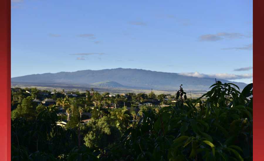
Photo Credit: James Grenz
Hilo
Today: Showers likely, mainly before 1pm. Mostly cloudy, with a high near 77. Southeast wind 3 to 8 mph. Chance of precipitation is 70%. New precipitation amounts of less than a tenth of an inch possible.
Tonight: Occasional showers, mainly after 7pm. Low around 65. East southeast wind 5 to 8 mph becoming calm in the evening. Chance of precipitation is 80%. New precipitation amounts of less than a tenth of an inch possible.
Tuesday: Occasional showers. High near 76. Calm wind becoming east southeast 5 to 8 mph in the afternoon. Chance of precipitation is 80%. New precipitation amounts of less than a tenth of an inch possible.
Kona
Today: Isolated showers after 1pm. Widespread haze. Increasing clouds, with a high near 79. West wind 3 to 6 mph. Chance of precipitation is 20%.
Tonight: Scattered showers, mainly between 7pm and 1am. Widespread haze. Mostly cloudy, with a low around 61. Northwest wind around 6 mph becoming calm in the evening. Chance of precipitation is 30%. New precipitation amounts of less than a tenth of an inch possible.
Tuesday: Isolated showers before 7am, then scattered showers after 1pm. Widespread haze. Mostly sunny, with a high near 78. Calm wind becoming west northwest around 5 mph in the afternoon. Chance of precipitation is 50%. New precipitation amounts of less than a tenth of an inch possible.
Waimea
Today: Scattered showers. Widespread haze. Partly sunny, with a high near 75. East wind 11 to 13 mph. Chance of precipitation is 40%. New precipitation amounts between a tenth and quarter of an inch possible.
Tonight: Scattered showers. Widespread haze. Mostly cloudy, with a low around 53. East wind around 14 mph, with gusts as high as 18 mph. Chance of precipitation is 40%. New precipitation amounts between a tenth and quarter of an inch possible.
Tuesday: Showers likely, mainly after noon. Widespread haze. Partly sunny, with a high near 73. East wind around 11 mph. Chance of precipitation is 70%. New precipitation amounts between a tenth and quarter of an inch possible.
Kohala
Today: Showers likely. Mostly cloudy, with a high near 71. Breezy, with an east wind 15 to 17 mph, with gusts as high as 24 mph. Chance of precipitation is 70%. New precipitation amounts of less than a tenth of an inch possible.
Tonight: Occasional showers. Low around 46. Breezy, with an east wind 15 to 21 mph, with gusts as high as 29 mph. Chance of precipitation is 80%. New precipitation amounts of less than a tenth of an inch possible.
Tuesday: Showers likely, mainly after 1pm. Mostly cloudy, with a high near 69. Breezy, with an east wind 14 to 21 mph, with gusts as high as 29 mph. Chance of precipitation is 70%. New precipitation amounts of less than a tenth of an inch possible.
South Big Island
Today: Isolated showers. Widespread haze. Partly sunny, with a high near 79. Windy, with an east wind 26 to 28 mph, with gusts as high as 36 mph. Chance of precipitation is 20%.
Tonight: Isolated showers. Widespread haze. Partly cloudy, with a low around 69. Windy, with an east northeast wind around 25 mph, with gusts as high as 32 mph. Chance of precipitation is 20%.
Tuesday: Isolated showers. Widespread haze. Mostly sunny, with a high near 78. Windy, with an east wind around 26 mph, with gusts as high as 34 mph. Chance of precipitation is 20%.
Puna
Today: Showers likely, mainly before noon. Mostly cloudy, with a high near 76. East northeast wind 8 to 11 mph. Chance of precipitation is 70%. New precipitation amounts between a tenth and quarter of an inch possible.
Tonight: Occasional showers. Low around 61. North wind around 8 mph. Chance of precipitation is 80%. New precipitation amounts between a tenth and quarter of an inch possible.
Tuesday: Showers likely. Mostly cloudy, with a high near 75. North northeast wind 7 to 10 mph. Chance of precipitation is 70%. New precipitation amounts between a tenth and quarter of an inch possible.
Waikoloa
Today: Widespread haze. Sunny, with a high near 81. North wind around 5 mph.
Tonight: Widespread haze. Mostly clear, with a low around 62. East northeast wind around 6 mph.
Tuesday: Scattered showers after noon. Widespread haze. Mostly sunny, with a high near 79. East wind around 5 mph becoming light and variable in the afternoon. Chance of precipitation is 50%. New precipitation amounts of less than a tenth of an inch possible.
Detailed Forecast
Synopsis
Breezy trade winds will continue for the next couple of days, then become locally strong Wednesday into next weekend. Low clouds and showers will favor windward areas, with showers most active during nights and mornings.
Discussion
Breezy trade winds will become stronger by the middle of the week, then remain strong into next weekend, supported by strong high pressure to the NE. Low clouds and showers will favor windward areas, occasionally spreading leeward, but heavy rainfall is not expected as the island atmosphere will not be particularly unstable.
Aviation
High pressure far northeast of the area will continue to produce moderate to breezy trade winds through the forecast period. Periods of showers will move through, mainly impacting windward coasts and slopes, with a stray shower making it leeward at times. Brief MVFR ceilings/visibilities are expected with some heavier showers, however, VFR conditions will prevail for most locations through this evening.
AIRMET Tango remains in effect for low-level lee turbulence for Big Island through Oahu due to the breezy trades.
Marine
A strong high pressure system positioned off the mainland west coast, along with migratory highs moving across the North Pacific basin through the week, will maintain a tight pressure gradient across the eastern Pacific and Hawaiian Islands the next several days. This will continue to produce fresh to strong easterly trade winds across most local coastal and offshore waters. A slight strengthening of the high to the far northeast later this week will further tighten the gradient and result in increasing trade magnitudes across greater areal coverage Wednesday into the weekend. Strong easterlies and high seas have expanded the ongoing Small Craft Advisory (SCA) westward to now include the Kauai Channel and windward and northwest Kauai coastal waters. The SCA will likely need to be extended, with a possible inclusion of the leeward Kauai and Oahu waters, through Saturday.
Recent satellite ASCAT wind observations verify a large region of strong trades upstream of the state that will generate a long fetch region and push in an easterly swell. Strong trade winds will also build large wind-driven easterly seas. Both east wind waves and swells will translate to rough sea conditions and higher east-facing shoreline surf. Surf heights along eastern-facing shores will exceed surf advisory levels today. Thus, a High Surf Advisory (HSA) is in effect for the remainder of the week to account for persistent strong trades keeping surf elevated along most eastern exposures.
A couple of small, overlapping relatively longer period west to northwest swells will travel around the islands the next few days. The first of these swells will be arriving later today and level out through Tuesday afternoon. The second set of similar low west to northwest swells will be moving through during mid to late week. Surf along north and west-facing shores will remain well below HSA levels through Friday. Surf along south-facing shores will remain small into the weekend. A small bump in southern swell arriving later in the week will provide a slight increase to south-facing shoreline surf by Friday.
HFO Watches/Warnings/Advisories
High Surf Advisory for East facing shores of Kauai Oahu Molokai Maui and the Big Island until 6 AM HST Saturday.
Small Craft Advisory until 6 PM HST Tuesday for Kauai Northwest Waters, Kauai Windward Waters, Kauai Channel, Oahu Windward Waters, Kaiwi Channel, Maui County Windward Waters, Maui County Leeward Waters, Maalaea Bay, Pailolo Channel, Alenuihaha Channel, Big Island Windward Waters, Big Island Leeward Waters, Big Island Southeast Waters.
Data Courtesy of NOAA.gov
Sponsored Content


