

Hawaii County Weather Forecast for February 17, 2021
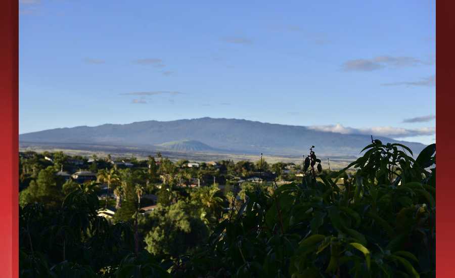
Photo Credit: James Grenz
Hilo
This Afternoon: Showers likely and possibly a thunderstorm. Mostly cloudy, with a temperature falling to around 74 by 5pm. East southeast wind around 5 mph. Chance of precipitation is 70%. New rainfall amounts of less than a tenth of an inch, except higher amounts possible in thunderstorms.
Tonight: Occasional showers. Low around 63. Light and variable wind. Chance of precipitation is 90%. New precipitation amounts between a tenth and quarter of an inch possible.
Thursday: Showers likely, with thunderstorms also possible after noon. Mostly cloudy, with a high near 79. Southeast wind 3 to 8 mph. Chance of precipitation is 70%. New rainfall amounts between a tenth and quarter of an inch, except higher amounts possible in thunderstorms.
Kona
This Afternoon: Scattered showers and thunderstorms. Partly sunny, with a temperature falling to around 74 by 5pm. Light west northwest wind. Chance of precipitation is 30%. New rainfall amounts of less than a tenth of an inch, except higher amounts possible in thunderstorms.
Tonight: Scattered showers. Mostly cloudy, with a low around 61. North northeast wind 3 to 5 mph. Chance of precipitation is 40%. New precipitation amounts between a quarter and half of an inch possible.
Thursday: Scattered showers, with thunderstorms also possible after noon. Partly sunny, with a high near 81. Calm wind becoming northwest around 6 mph in the afternoon. Chance of precipitation is 40%. New rainfall amounts between a quarter and half of an inch possible.
Waimea
This Afternoon: Showers likely and possibly a thunderstorm. Mostly cloudy, with a temperature falling to around 68 by 5pm. North northeast wind around 10 mph. Chance of precipitation is 60%. New rainfall amounts between a tenth and quarter of an inch, except higher amounts possible in thunderstorms.
Tonight: Showers likely. Mostly cloudy, with a low around 52. North northeast wind around 9 mph. Chance of precipitation is 70%. New precipitation amounts between 1 and 2 inches possible.
Thursday: Showers likely, with thunderstorms also possible after noon. Mostly cloudy, with a high near 75. East wind 5 to 8 mph. Chance of precipitation is 70%. New rainfall amounts between 1 and 2 inches possible.
Kohala
This Afternoon: Showers likely and possibly a thunderstorm. Mostly cloudy, with a temperature falling to around 63 by 5pm. Breezy, with an east wind around 18 mph, with gusts as high as 25 mph. Chance of precipitation is 70%. New rainfall amounts of less than a tenth of an inch, except higher amounts possible in thunderstorms.
Tonight: Occasional showers. Low around 45. Windy, with an east wind 23 to 25 mph, with gusts as high as 36 mph. Chance of precipitation is 90%. New precipitation amounts between a tenth and quarter of an inch possible.
Thursday: Occasional showers, with thunderstorms also possible after noon. High near 71. East wind 7 to 14 mph, with gusts as high as 18 mph. Chance of precipitation is 80%. New rainfall amounts between a tenth and quarter of an inch, except higher amounts possible in thunderstorms.
South Big Island
This Afternoon: Scattered showers and thunderstorms. Partly sunny, with a high near 80. Breezy, with an east wind around 21 mph, with gusts as high as 26 mph. Chance of precipitation is 30%. New rainfall amounts of less than a tenth of an inch, except higher amounts possible in thunderstorms.
Tonight: Scattered showers. Mostly cloudy, with a low around 69. Breezy, with an east northeast wind around 18 mph, with gusts as high as 23 mph. Chance of precipitation is 40%. New precipitation amounts of less than a tenth of an inch possible.
Thursday: Scattered showers, with thunderstorms also possible after noon. Mostly cloudy, with a high near 81. Breezy, with an east wind around 21 mph, with gusts as high as 26 mph. Chance of precipitation is 50%. New rainfall amounts of less than a tenth of an inch, except higher amounts possible in thunderstorms.
Puna
This Afternoon: Showers likely and possibly a thunderstorm. Mostly cloudy, with a temperature falling to around 73 by 5pm. Light east northeast wind. Chance of precipitation is 70%. New rainfall amounts between a tenth and quarter of an inch, except higher amounts possible in thunderstorms.
Tonight: Occasional showers. Low around 61. Light and variable wind. Chance of precipitation is 90%. New precipitation amounts between three quarters and one inch possible.
Thursday: Occasional showers, with thunderstorms also possible after noon. High near 78. East northeast wind 5 to 9 mph. Chance of precipitation is 80%. New rainfall amounts between three quarters and one inch possible.
Waikoloa
This Afternoon: Isolated showers and thunderstorms. Mostly sunny, with a temperature falling to around 74 by 5pm. North northwest wind around 7 mph. Chance of precipitation is 20%.
Tonight: Scattered showers before midnight. Mostly cloudy, with a low around 61. Light and variable wind becoming east 5 to 7 mph after midnight. Chance of precipitation is 50%. New precipitation amounts between a quarter and half of an inch possible.
Thursday: Scattered showers, with thunderstorms also possible after noon. Partly sunny, with a high near 82. Light and variable wind. Chance of precipitation is 50%. New rainfall amounts between a half and three quarters of an inch possible.
Detailed Forecast
Synopsis
A stalled front will produce heavy showers and thunderstorms around Kauai through tonight. Across the rest of the island chain, trade winds will focus showers over windward slopes, though spotty heavy showers and thunderstorms will flare over leeward Big Island this afternoon. A lingering low aloft near the state will produce a cloudy and wet trade wind weather pattern on Thursday and Friday. A gradual drying trend is due during the weekend, with easterly trade winds continuing early next week.
Discussion
The short term focus for flooding remains on Kauai, where a Flash Flood Watch remains in effect through Thursday. A slow moving front brought heavy showers and thunderstorms to Kauai overnight, where 2.5 to 5.5 inches of rainfall was recorded on north slopes. The front is stalling just east and northeast of Kauai this morning, but this feature is expected to drift back towards Kauai later today and tonight and bring another round of heavy rainfall.
From Oahu to the Big Island, the trade wind flow will gradually destabilize through tonight. Surface high pressure located far northeast of the state will maintain moderate trade winds, and the mid- to upper-level trough driving the front will slowly destabilize the atmosphere. Expect showers to be focused over windward slopes along with spotty afternoon showers and thunderstorms over leeward Big Island. High clouds will steadily increase this afternoon and tonight.
Wet and unstable trade wind weather is in store Thursday and Friday. Another high pressure cell will take over far north of the state, driving moderate to breezy trade winds. The front will weaken and drift to the north and west of Kauai on Thursday, leaving pockets of moisture in the trade wind flow as the primary source of rainfall. The mid- to upper-level trough will develop into a low to the southwest of the state. While temperatures aloft will be coldest near Kauai, there could be sufficient instability to produce heavy showers and thunderstorms state-wide. Windward areas will likely see the greatest amount of rainfall, though some showers will periodically carry over to leeward areas. The Flash Flood Watch for Kauai currently runs through Thursday, and we do not feel like it needs to be expanded at this time. In addition, high clouds will blanket much of the area, and periods of snow and ice will be possible on the high summits of the Big Island.
A gradual drying trend is expected this weekend. The nearly stationary mid- to upper-level low will weaken into a trough again, and temperatures aloft will slowly warm. While some instability will linger, especially on Saturday, the threat for heavy showers and thunderstorms will diminish. Surface high pressure to the northeast will generate easterly trade winds, which will keep windward areas wetter. High clouds will linger across most of the region on Saturday and diminish Sunday.
The GFS and ECMWF models suggest a more stable easterly trade wind flow early next week, with pockets of moisture affecting mainly windward slopes.
Aviation
A northeast to southwest front over Kauai will be producing heavy showers and thunderstorms over Kauai and surrounding coastal waters for at least the next 24 hours. AIRMET Sierra is in effect for MTN OBSC on Kauai. The atmosphere over the islands is moist and a trough aloft is keeping the atmosphere unstable. Thunderstorms will likely develop over the Big Island this afternoon and Thursday afternoon and thunderstorms will be possible elsewhere across the islands. A high northeast of the area will maintain locally strong northeast to east surface winds over the area. These low level winds will focus showers over northeast and east sections of the islands and may get strong enough to produce low level turbulence in the lee of the islands.
Marine
A front just east of Kauai appears to have stalled. The front will be pushed back westward over Kauai later today and tonight as it dissipates. Fresh to strong northeasterlies may develop to the west of the front, which would put the coastal waters west of Kauai into Small Craft Advisory (SCA) conditions tonight and Thursday. Winds to the east of the front will be moderate to fresh from an easterly to southeasterly direction. The winds may strengthen later this week to put the normally windier areas around the Big Island and Maui County in SCA conditions.
A new northwest swell will be filling in today. This swell should peak today and tonight, then persist through Thursday before slowly declining. A small long period swell is forecast to fill in late Friday and Saturday. Surf heights should remain below High Surf Advisory (HSA) levels.
Strengthening trade winds later this week will produce choppy surf into early next week. Surf heights may gradually approach HSA levels along the east facing shores. Small, mainly background southerly swells will continue throughout the forecast period.
HFO Watches/Warnings/Advisories
Flash Flood Watch through Thursday afternoon for Kauai and Niihau.
Data Courtesy of NOAA.gov
Sponsored Content


