

February 08, 2019 Surf Forecast
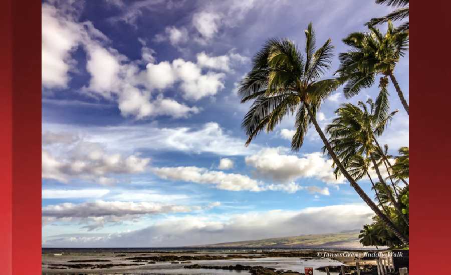
Photo: James Grenz
SHORES
Swell Summary
Outlook through Friday February 15: Extraordinary large and disorganized surf will produce life- threatening conditions in the surf zone along north and west facing shores from this weekend into early next week due to a very unusual deepening low pressure system approaching the islands from the north. In addition, unprecedented coastal inundation is possible along north and west facing shores as ocean water surges and sweeps over beaches and adjacent coastal areas due to strong north winds and extremely large north and northwest swells. There is also a high potential for extreme surges in north and west facing harbors from late Saturday through Sunday.
Surf heights are forecast heights of the face, or front, of waves. The surf forecast is based on the significant wave height, the average height of the one third largest waves, at the locations of the largest breakers. Some waves may be more than twice as high as the significant wave height. Expect to encounter rip currents in or near any surf zone.
North East
am ![]()
![]() pm
pm ![]()
![]()
Surf: Chest to shoulder high mix of NNE ground swell and NW extra long period swell for the morning. The surf builds from the NW in the afternoon with sets up to well overhead high.
Conditions: Choppy/sideshore current with NW winds 15-20mph in the morning shifting NNW for the afternoon.
North West
am ![]()
![]() pm
pm ![]()
![]()
Surf: Knee to waist high ground swell with occasional stomach sets. The swell will be coming from the WNW in the morning and shift to the NW during the day.
Conditions: Fairly clean in the morning with E winds 5-10mph. Semi choppy conditions for the afternoon with the winds shifting to the NNE.
West
am ![]()
![]() pm
pm ![]()
![]()
Surf: Waist to chest high mix of NW extra long period swell and WNW ground swell for the morning hours with occasional shoulder sets. The surf builds from the NW into the chest to head range for the afternoon.
Conditions: Clean in the early morning with NE winds 5-10mph. Sideshore texture/chop conditions move in during the morning hours with the winds shifting NNW 10-15mph.
South East
am ![]()
![]() pm
pm ![]()
![]()
Surf: Waist to stomach high SE wind swell.
Conditions: Semi clean/textured in the morning with N winds 15-20mph. Semi clean/sideshore texture and current conditions for the afternoon as the winds increase to 20-25mph.

Image: NOAA

Image: NOAA

Image: NOAA

Image: NOAA

Image: NOAA
**Click directly on the images below to make them larger. Charts include: Hawaii County projected winds, tides, swell direction & period and expected wave heights.**
Data Courtesy of NOAA.gov and SwellInfo.com
Sponsored Content


