

February 03, 2019 Surf Forecast
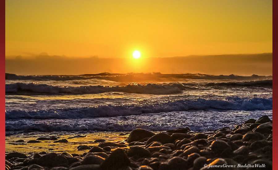
Photo: James Grenz
Swell Summary
Outlook through Sunday February 10: The current west-northwest swell will peak this morning, then slowly fade tonight. A series of reinforcing west-northwest swells will keep moderate surf in place through the first half of the upcoming work week, but below advisory levels. A much larger northwest swell is expected to build late Thursday and Thursday night, likely bringing warning level surf to north and west facing shores Friday through Saturday. A north-northeast swell is expected to build Wednesday night and Thursday, possibly bringing advisory level surf to east facing shores Thursday night through Friday night.
Surf heights are forecast heights of the face, or front, of waves. The surf forecast is based on the significant wave height, the average height of the one third largest waves, at the locations of the largest breakers. Some waves may be more than twice as high as the significant wave height. Expect to encounter rip currents in or near any surf zone.
North East
am ![]()
![]() pm
pm ![]()
![]()
Surf: Chest to head high NE medium period swell.
Conditions: Light sideshore texture in the morning with NW winds 5-10mph. Glassy conditions for the afternoon with the winds shifting E less than 5mph.
North West
am ![]()
![]() pm
pm ![]()
![]()
Surf: Chest to shoulder high WNW ground swell in the morning with occasional head high sets. This drops a bit in the afternoon.
Conditions: Clean in the early morning with ESE winds less than 5mph. Bumpy/semi bumpy conditions move in during the morning hours with the winds shifting W 5-10mph.
West
am ![]()
![]() pm
pm ![]()
![]()
Surf: Head high WNW ground swell with occasional 1-2′ overhead high sets.
Conditions: Clean in the morning with NNE winds 5-10mph. Semi choppy conditions for the afternoon with the winds shifting to the NW.
South East
am ![]()
![]() pm
pm ![]()
![]()
Surf: Waist high ENE medium period swell with occasional stomach high sets.
Conditions: Glassy in the morning with N winds less than 5mph. Light sideshore texture conditions for the afternoon with the winds shifting NNE 10-15mph.

Image: NOAA

Image: NOAA
Image: NOAA

Image: NOAA

Image: NOAA

Image: NOAA
**Click directly on the images below to make them larger. Charts include: Hawaii County projected winds, tides, swell direction & period and expected wave heights.**
Data Courtesy of NOAA.gov and SwellInfo.com
Sponsored Content


