

January 31, 2019 Surf Forecast
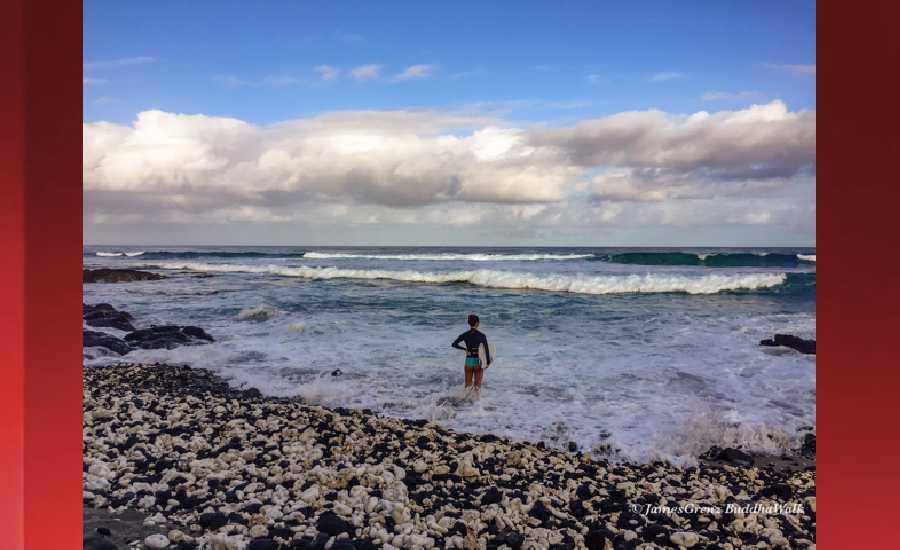
Photo: James Grenz
Swell Summary
Outlook through Thursday February 07: The current northwest swell will peak today, hold tonight, then lower on Friday. A new west-northwest swell is expected to peak below advisory levels late Saturday or Saturday night. A couple new west- northwest swells are then expected to arrive during the early to middle part of next week, the first peaking Monday night, and the second peaking Tuesday night, both just below advisory levels. Strong northeast winds will keep surf around advisory levels across east facing shores through Friday before slowly subsiding over the weekend. Surf will remain small along south facing shores through the middle of next week.
Surf heights are forecast heights of the face, or front, of waves. The surf forecast is based on the significant wave height, the average height of the one third largest waves, at the locations of the largest breakers. Some waves may be more than twice as high as the significant wave height. Expect to encounter rip currents in or near any surf zone.
North East
am ![]()
![]() pm
pm ![]()
![]()
Surf: Chest to shoulder high mix of N wind swell and NW extra long period swell for the morning. The surf builds from the NW in the afternoon with sets up to slightly overhead high.
Conditions: Sideshore texture/chop with NW winds 10-15mph in the morning shifting NNW for the afternoon.
North West
am ![]()
![]() pm
pm ![]()
![]()
Surf: Chest to shoulder high WNW long period swell.
Conditions: Fairly clean in the early morning with E winds 5-10mph. Bumpy/choppy conditions move in during the morning hours with the winds shifting N 10-15mph.
West
am ![]()
![]() pm
pm ![]()
![]()
Surf: Shoulder to head high WNW long period swell with occasional 1-2′ overhead high sets.
Conditions: Clean in the morning with ENE winds 5-10mph. Semi glassy/semi bumpy conditions for the afternoon with the winds shifting W less than 5mph.
South East
am ![]()
![]() pm
pm ![]()
![]()
Surf: Knee high E wind swell in the morning builds in the afternoon with occasional sets up to stomach high.
Conditions: Fairly clean in the morning with NNW winds 20-25mph. Semi clean/sideshore texture and current conditions for the afternoon with the winds shifting to the N.

Image: NOAA

Image: NOAA

Image: NOAA

Image: NOAA

Image: NOAA

Image: NOAA
**Click directly on the images below to make them larger. Charts include: Hawaii County projected winds, tides, swell direction & period and expected wave heights.**
Data Courtesy of NOAA.gov and SwellInfo.com
Sponsored Content


