

January 21, 2019 Surf Forecast
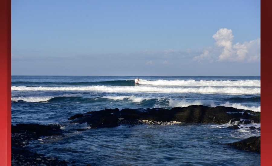
Photo: James Grenz
Swell Summary
Outlook through Monday January 28: Surf along north and west facing shores will gradually rise through the first half of the week, likely reaching advisory levels for north and west facing shores beginning Tuesday night, then nearing warning levels Wednesday through Thursday as moderate to large overlapping northwest swells move through. A similar reinforcement out of the northwest will keep the surf around and above advisory levels Friday into the weekend before slowly easing. A small to moderate east swell is expected by midweek, which will lead to rising surf along east facing shores Tuesday through midweek. Small southeast trade wind swell energy will support small surf continuing along south facing shores.
Surf heights are forecast heights of the face, or front, of waves. The surf forecast is based on the significant wave height, the average height of the one third largest waves, at the locations of the largest breakers. Some waves may be more than twice as high as the significant wave height. Expect to encounter rip currents in or near any surf zone.
North East
am ![]()
![]() pm
pm ![]()
![]()
Surf: Chest to shoulder high ESE medium period swell.
Conditions: Sideshore/choppy with SSE winds 15-20mph in the morning shifting SE for the afternoon.
North West
am ![]()
![]() pm
pm ![]()
![]()
Surf: Small scale (ankle to knee high) surf.
Conditions: Clean in the morning with SE winds less than 5mph. Semi glassy/semi bumpy conditions for the afternoon with the winds shifting to the W.
West
am ![]()
![]() pm
pm ![]()
![]()
Surf: Ankle to knee high NW ground swell in the morning builds in the afternoon with occasional sets up to stomach high.
Conditions: Glassy in the morning with S winds less than 5mph. Semi glassy/semi bumpy conditions for the afternoon with the winds shifting to the W.
South East
am ![]()
![]() pm
pm ![]()
![]()
Surf: Chest to shoulder high ESE medium period swell.
Conditions: Semi glassy/semi bumpy with ESE winds less than 5mph in the morning shifting SE for the afternoon.

Image: NOAA

Image: NOAA
Image: NOAA

Image: NOAA

Image: NOAA

Image: NOAA
**Click directly on the images below to make them larger. Charts include: Hawaii County projected winds, tides, swell direction & period and expected wave heights.**
Data Courtesy of NOAA.gov and SwellInfo.com
Sponsored Content


