

January 19, 2019 Surf Forecast
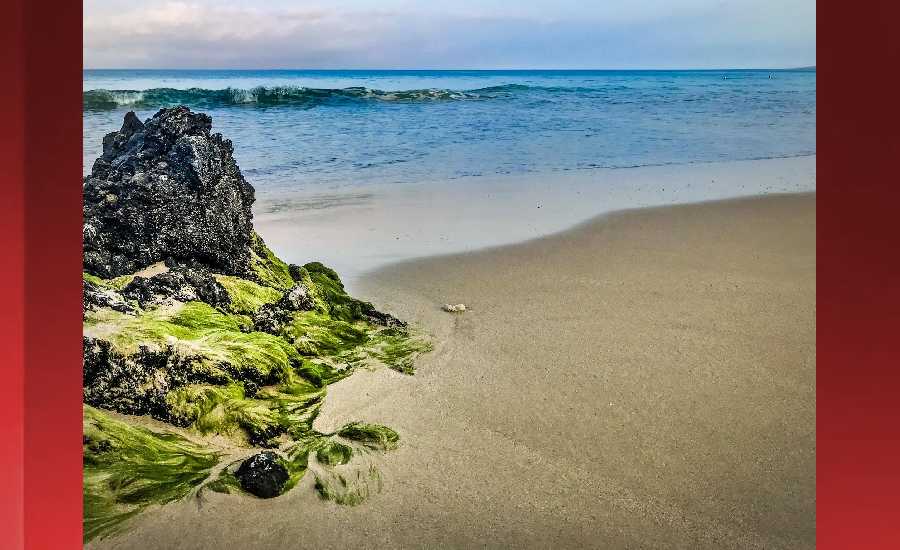
Photo: James Grenz
Swell Summary
Outlook through Saturday January 26: The current north-northwest swell will gradually decline through the weekend, followed by a series of overlapping northwest swells next week. The first swell will produce moderate surf below advisory levels Monday and Tuesday. The next swell will arrive Tuesday and result in surf well above advisory levels for north and west facing shores Tuesday night and Wednesday. As this swell declines Thursday, a large reinforcing northwest swell will build, possibly leading to warning level surf late Thursday and Friday. Short period swell from the east will produce a small bump in east shore surf this weekend, with another increase possible around Wednesday. No significant south swells are due.
Surf heights are forecast heights of the face, or front, of waves. The surf forecast is based on the significant wave height, the average height of the one third largest waves, at the locations of the largest breakers. Some waves may be more than twice as high as the significant wave height. Expect to encounter rip currents in or near any surf zone.
North East
am ![]()
![]() pm
pm ![]()
![]()
Surf: Chest to head high NNW medium period swell.
Conditions: Light sideshore texture in the morning with SSE winds 10-15mph. Choppy/disorganized conditions for the afternoon with the winds shifting to the ESE.
North West
am ![]()
![]() pm
pm ![]()
![]()
Surf: Knee to thigh high WNW medium period swell.
Conditions: Fairly clean in the early morning with E winds 5-10mph. Semi choppy conditions move in during the morning hours with the winds shifting WSW 5-10mph.
West
am ![]()
![]() pm
pm ![]()
![]()
Surf: Knee to waist high WNW medium period swell with occasional stomach high sets.
Conditions: Semi glassy in the morning with SE winds less than 5mph. Bumpy/semi bumpy conditions for the afternoon with the winds shifting SSW 5-10mph.
South East
am ![]()
![]() pm
pm ![]()
![]()
Surf: Waist to stomach high ESE wind swell in the morning builds a bit for the afternoon.
Conditions: Glassy in the morning with N winds 5-10mph. Sideshore texture/chop conditions for the afternoon with the winds shifting to the NE.

Image: NOAA

Image: NOAA

Image: NOAA

Image: NOAA

Image: NOAA
**Click directly on the images below to make them larger. Charts include: Hawaii County projected winds, tides, swell direction & period and expected wave heights.**
Data Courtesy of NOAA.gov and SwellInfo.com
Sponsored Content


