

January 14, 2019 Surf Forecast
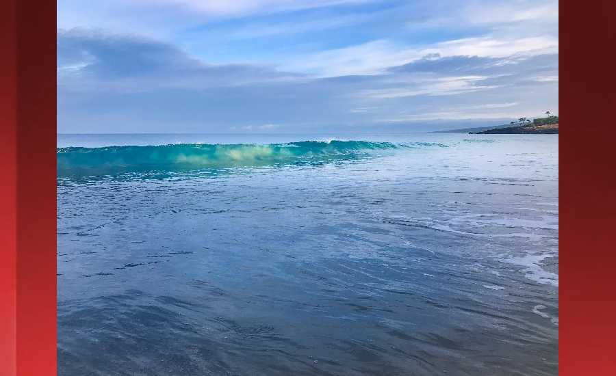
Photo: James Grenz
Swell Summary
Outlook through Monday January 21: The current northwest swell will hold through tonight keeping surf at advisory levels along north and west facing shores. A reinforcing large northwest swell is expected to arrive on Tuesday, and this could push surf close to warning levels. This swell will then gradually ease through Thursday, but surf could linger at advisory levels through the day on Wednesday. Another mid-period, large, northwest to north swell building Thursday night could bring another advisory level event to north and west facing shores late in the work week, then slowly fade through the weekend.
Surf heights are forecast heights of the face, or front, of waves. The surf forecast is based on the significant wave height, the average height of the one third largest waves, at the locations of the largest breakers. Some waves may be more than twice as high as the significant wave height. Expect to encounter rip currents in or near any surf zone.
North East
am ![]()
![]() pm
pm ![]()
![]()
Surf: 1-3′ overhead high NW long period swell.
Conditions: Light sideshore texture in the morning with SSE winds 10-15mph. Choppy/disorganized conditions for the afternoon with the winds shifting to the ESE.
North West
am ![]()
![]() pm
pm ![]()
![]()
Surf: Stomach to shoulder high WNW ground swell.
Conditions: Clean in the morning with SE winds less than 5mph. Semi glassy/semi bumpy conditions for the afternoon with the winds shifting WNW 5-10mph.
West
am ![]()
![]() pm
pm ![]()
![]()
Surf: Chest to head high WNW ground swell for the morning with occasional slightly overhead high sets. This drops in the afternoon with occasional head high sets.
Conditions: Clean in the morning with ENE winds less than 5mph. Semi choppy conditions for the afternoon with the winds shifting NW 5-10mph.
South East
am ![]()
![]() pm
pm ![]()
![]()
Surf: Waist to chest high ESE medium period swell with occasional shoulder high sets.
Conditions: Light sideshore texture in the morning with NE winds 5-10mph. Semi choppy conditions for the afternoon with the winds shifting to the ENE.

Image: NOAA

Image: NOAA

Image: NOAA
Image: NOAA

Image: NOAA

Image: NOAA
**Click directly on the images below to make them larger. Charts include: Hawaii County projected winds, tides, swell direction & period and expected wave heights.**
Data Courtesy of NOAA.gov and SwellInfo.com
Sponsored Content


