

January 06, 2019 Surf Forecast
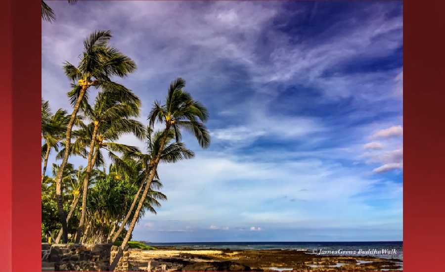
Photo: James Grenz
Swell Summary
Outlook through Sunday January 13: A moderate sized north-northeast long-period swell expected Wednesday will generate advisory-level surf along east facing shores, which should hold through Thursday. A similar sized north swell is expected Thursday night through Friday that will generate near advisory level surf for north facing shores as it peaks. A small to moderate northwest swell expected Wednesday will hold into Thursday, then steadily fade. A significant northwest swell is possible over the upcoming weekend, that could generate surf well above the warning criteria for north and west facing shores.
Surf heights are forecast heights of the face, or front, of waves. The surf forecast is based on the significant wave height, the average height of the one third largest waves, at the locations of the largest breakers. Some waves may be more than twice as high as the significant wave height. Expect to encounter rip currents in or near any surf zone.
North East
am ![]()
![]() pm
pm ![]()
![]()
Surf: Head high E medium period swell.
Conditions: Sideshore texture/chop with SSE winds 15-20mph in the morning shifting ESE for the afternoon.
North West
am ![]()
![]() pm
pm ![]()
![]()
Surf: Knee high ground swell with occasional thigh sets. The swell will be coming from the WNW in the morning and shift to the SW during the day.
Conditions: Glassy in the morning with E winds less than 5mph. Semi choppy conditions for the afternoon with the winds shifting WSW 5-10mph.
West
am ![]()
![]() pm
pm ![]()
![]()
Surf: Waist high SW ground swell for the morning with occasional stomach high sets. This drops in the afternoon with occasional thigh high sets.
Conditions: Clean in the morning with E winds less than 5mph. Semi glassy/semi bumpy conditions for the afternoon with the winds shifting to the SW.
South East
am ![]()
![]() pm
pm ![]()
![]()
Surf: Chest to shoulder high E medium period swell.
Conditions: Semi glassy/semi bumpy with ESE winds 5-10mph. Glassy conditions are expected for the late day with SSE winds less than 5mph.

Image: NOAA

Image: NOAA

Image: NOAA
Image: NOAA

Image: NOAA

Image: NOAA
**Click directly on the images below to make them larger. Charts include: Hawaii County projected winds, tides, swell direction & period and expected wave heights.**
Data Courtesy of NOAA.gov and SwellInfo.com
Sponsored Content


