

January 04, 2019 Surf Forecast
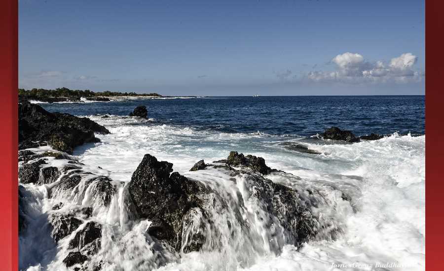
Photo: James Grenz
Swell Summary
Outlook through Friday January 11: The current northwest swell will continue to slowly decline today and will be reinforced by a small northwest swell later tonight. A moderate size northwest and north swell is expected during the middle of next week. Larger swells will be possible towards the end of next week as a active weather pattern develops in the north pacific. Persistent moderate to strong trades will continue to produce rough, elevated surf along east facing shores through Saturday or Saturday night. East shore surf is expected to steadily decline Sunday through early next week as the trade winds diminish.
Surf heights are forecast heights of the face, or front, of waves. The surf forecast is based on the significant wave height, the average height of the one third largest waves, at the locations of the largest breakers. Some waves may be more than twice as high as the significant wave height. Expect to encounter rip currents in or near any surf zone.
North East
am ![]()
![]() pm
pm ![]()
![]()
Surf: Head high E medium period swell.
Conditions: Semi glassy in the morning with SE winds less than 5mph. Sideshore texture/chop conditions for the afternoon as the winds increase to 10-15mph.
North West
am ![]()
![]() pm
pm ![]()
![]()
Surf: Stomach to shoulder high WNW ground swell for the morning. This fades in the afternoon with sets up to chest high.
Conditions: Glassy in the early morning with S winds less than 5mph. Bumpy/semi bumpy conditions move in during the morning hours with the winds shifting W 5-10mph.
West
am ![]()
![]() pm
pm ![]()
![]()
Surf: Chest to head high WNW ground swell in the morning with occasional slightly overhead high sets. This drops into the stomach to shoulder range for the afternoon.
Conditions: Glassy in the morning with SE winds less than 5mph. Semi glassy/semi bumpy conditions for the afternoon with the winds shifting to the WSW.
South East
am ![]()
![]() pm
pm ![]()
![]()
Surf: Head high E medium period swell.
Conditions: Sideshore texture/chop with NNE winds 15-20mph.

Image: NOAA

Image: NOAA
Image: NOAA

Image: NOAA

Image: NOAA

Image: NOAA
**Click directly on the images below to make them larger. Charts include: Hawaii County projected winds, tides, swell direction & period and expected wave heights.**
Data Courtesy of NOAA.gov and SwellInfo.com
Sponsored Content


