

January 03, 2019 Surf Forecast
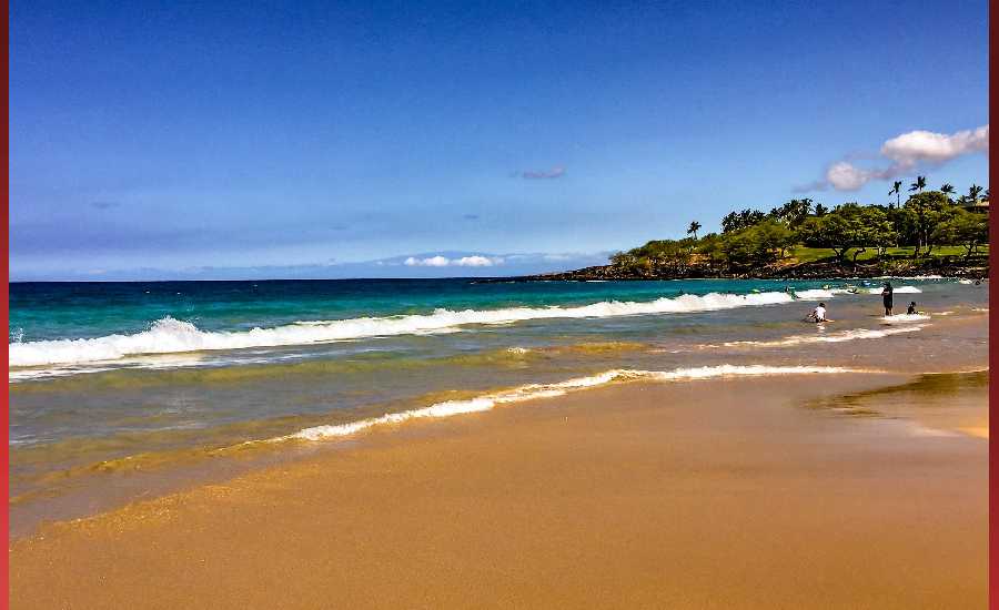
Photo: James Grenz
Swell Summary
Outlook through Thursday January 10: A reinforcing northwest swell will fill in today and will continue to produce advisory level surf for north and west facing shores through tonight. This northwest swell will gradually decline late tonight through Friday, with several small reinforcements expected over the weekend into early next week. A moderate northwest swell is possible middle of next week. Persistent moderate to strong trades will produce rough, advisory level surf along east facing shores through the remainder of the week. The surf is expected to steadily decline along east facing shores Sunday through early next week as trades diminish.
Surf heights are forecast heights of the face, or front, of waves. The surf forecast is based on the significant wave height, the average height of the one third largest waves, at the locations of the largest breakers. Some waves may be more than twice as high as the significant wave height. Expect to encounter rip currents in or near any surf zone.
North East
am ![]()
![]() pm
pm ![]()
![]()
Surf: Head high E medium period swell with occasional 1-2′ overhead high sets.
Conditions: Sideshore texture/chop in the morning with SE winds 5-10mph. Semi glassy/semi bumpy conditions for the afternoon with the winds shifting to the ESE.
North West
am ![]()
![]() pm
pm ![]()
![]()
Surf: Shoulder to head high WNW long period swell with occasional 1-2′ overhead high sets.
Conditions: Semi glassy in the morning with SW winds less than 5mph. Semi glassy/semi bumpy conditions for the afternoon with the winds shifting to the W.
West
am ![]()
![]() pm
pm ![]()
![]()
Surf: 1-3′ overhead high WNW long period swell with occasional well overhead high sets.
Conditions: Clean in the morning with ENE winds 5-10mph. Bumpy/semi bumpy conditions for the afternoon with the winds shifting to the W.
South East
am ![]()
![]() pm
pm ![]()
![]()
Surf: Head high E medium period swell with occasional 1-2′ overhead high sets.
Conditions: Sideshore texture/chop with NNE winds 10-15mph in the morning increasing to 15-20mph in the afternoon.

Image: NOAA

Image: NOAA

Image: NOAA
Image: NOAA

Image: NOAA

Image: NOAA
**Click directly on the images below to make them larger. Charts include: Hawaii County projected winds, tides, swell direction & period and expected wave heights.**
Data Courtesy of NOAA.gov and SwellInfo.com
Sponsored Content


