

December 28, 2018 Surf Forecast
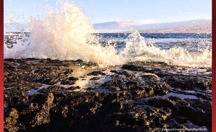
Photo: James Grenz
Swell Summary
Outlook through Friday January 04: Surf will peak today at high end advisory levels along exposed north and west facing shores. This swell will gradually lower into the weekend. A series of west-northwest swell is forecast to arrive Monday and peak Tuesday night with surf at or near advisory levels for the north and west facing shores. Strong, persistent trade winds east of the islands has generated an easterly swell that will keep the surf up along east facing shores over the next several days. Moderate to strong trades will return over the weekend, and this will bump the surf along east facing shores to near advisory level. Surf will likely remain elevated along east facing shores through next week due to strong trades.
Surf heights are forecast heights of the face, or front, of waves. The surf forecast is based on the significant wave height, the average height of the one third largest waves, at the locations of the largest breakers. Some waves may be more than twice as high as the significant wave height. Expect to encounter rip currents in or near any surf zone.
North East
am ![]()
![]() pm
pm ![]()
![]()
Surf: Head high NW long period swell with occasional 1-3′ overhead high sets.
Conditions: Sideshore texture/chop with SSE winds 15-20mph in the morning shifting SE for the afternoon.
North West
am ![]()
![]() pm
pm ![]()
![]()
Surf: Knee high NW long period swell with occasional waist high sets.
Conditions: Glassy in the early morning with S winds less than 5mph. Sideshore texture/chop conditions move in during the morning hours with the winds shifting SW 5-10mph.
West
am ![]()
![]() pm
pm ![]()
![]()
Surf: Waist to chest high NW long period swell for the morning with occasional shoulder sets. This builds to chest to shoulder high for the afternoon.
Conditions: Glassy in the early morning with NNE winds less than 5mph. Semi choppy conditions move in during the morning hours with the winds shifting NW 5-10mph.
South East
am ![]()
![]() pm
pm ![]()
![]()
Surf: Chest to shoulder high E medium period swell with occasional head high sets.
Conditions: Bumpy/semi bumpy with E winds 5-10mph in the morning shifting ESE for the afternoon.

Image: NOAA

Image: NOAA
Image: NOAA

Image: NOAA

Image: NOAA
**Click directly on the images below to make them larger. Charts include: Hawaii County projected winds, tides, swell direction & period and expected wave heights.**
Data Courtesy of NOAA.gov and SwellInfo.com
Sponsored Content


