

December 05, 2018 Surf Forecast
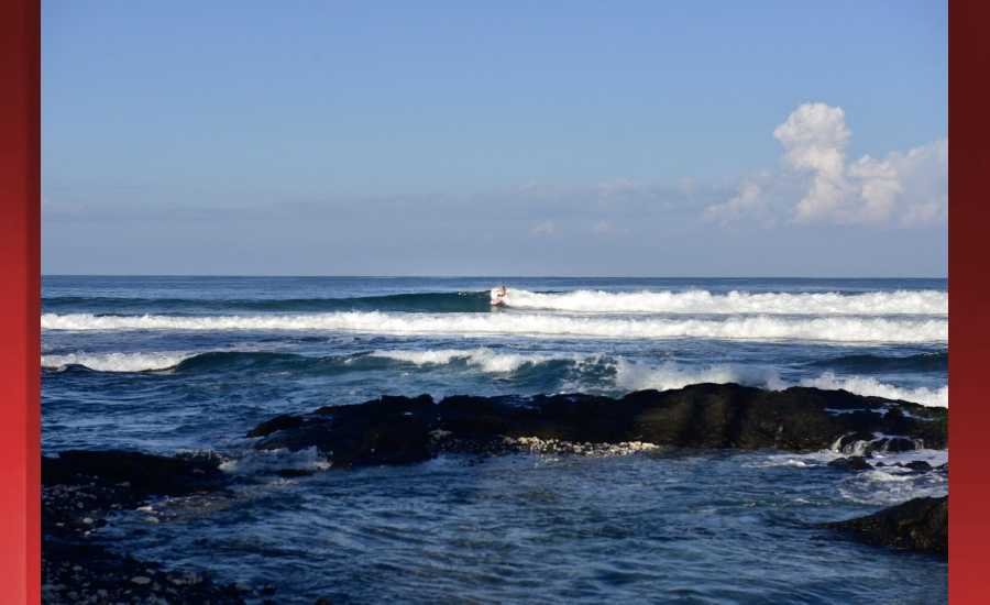
Photo: James Grenz
Swell Summary
Outlook through Wednesday December 12: A large and extended northwest swell will peak today with warning level surf for north and west facing shores. The swell will lower slowly through the remainder of the week, with warning level surf to fall to advisory level late Thursday. Advisory level surf will likely continue into Saturday for these two shores. A moderate to large north- northwest to north pulse will arrive Saturday evening, and max out Sunday. This swell may reach low end warning level surf for the north facing shores, and advisory level surf on the west side on Sunday.
For the east facing shoreline, surf will be small to moderate in size, then build up on Friday and into the weekend as the trade winds ramp up to strong and blustery. The result from these winds is a High Surf Advisory for the east facing shores, and this advisory may extend into the new work week. Surf along south facing shores will remain small through the forecast period.
Surf heights are forecast heights of the face, or front, of waves. The surf forecast is based on the significant wave height, the average height of the one third largest waves, at the locations of the largest breakers. Some waves may be more than twice as high as the significant wave height. Expect to encounter rip currents in or near any surf zone.
North East
am ![]()
![]() pm
pm ![]()
![]()
Surf: Well overhead to double overhead high NW long period swell.
Conditions: Sideshore texture/chop with SE winds 10-15mph in the morning shifting ESE 15-20mph in the afternoon.
North West
am ![]()
![]() pm
pm ![]()
![]()
Surf: Knee to waist high WNW long period swell for the morning with occasional stomach high sets. This builds in the afternoon with sets up to shoulder high.
Conditions: Clean in the early morning with SE winds less than 5mph. Semi choppy conditions move in during the morning hours with the winds shifting WSW 5-10mph.
West
am ![]()
![]() pm
pm ![]()
![]()
Surf: Chest to head high NW long period swell with occasional slightly overhead high sets.
Conditions: Glassy in the morning with SE winds less than 5mph. Bumpy/semi bumpy conditions for the afternoon with the winds shifting WNW 5-10mph.
South East
am ![]()
![]() pm
pm ![]()
![]()
Surf: Chest to shoulder high E wind swell.
Conditions: Sideshore texture/chop in the morning with NE winds 10-15mph. Light sideshore texture conditions for the afternoon with the winds shifting NNE 5-10mph.

Image: NOAA
**Click directly on the images below to make them larger. Charts include: Hawaii County projected winds, tides, swell direction & period and expected wave heights.**
Data Courtesy of NOAA.gov and SwellInfo.com
Sponsored Content


