

December 04, 2018 Surf Forecast
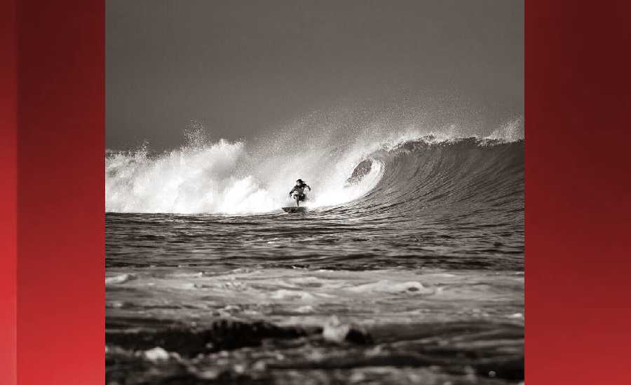
Photo: James Grenz
Swell Summary
Outlook through Tuesday December 11: A large northwest swell will build today, peak tonight and Wednesday, then slowly lower through the remainder of the week. Warning level surf is expected during the peak of the event and a High Surf Warning is in effect for north and west facing shores through noon Thursday. Surf is expected to remain elevated and in the advisory range through Friday night. A brief period with surf below advisory levels is then expected Saturday and Saturday night, with a new moderate size north swell possibly bringing advisory level surf to north facing shores Sunday and Sunday night, then slowly lowering through early next week.
Elsewhere, short-period choppy surf will gradually increase along east facing shores today through Wednesday as a result of moderate to breezy trade winds. East shore surf will lower slightly Wednesday night through Friday as the trade winds upstream of the state decrease. The surf will then increase Friday night through early next week along east facing shores as the trades strengthen upstream of the islands once again, with advisory level surf possible by early next week. Surf along south facing shores will remain small through the forecast period.
Surf heights are forecast heights of the face, or front, of waves. The surf forecast is based on the significant wave height, the average height of the one third largest waves, at the locations of the largest breakers. Some waves may be more than twice as high as the significant wave height. Expect to encounter rip currents in or near any surf zone.
North East
am ![]()
![]() pm
pm ![]()
![]()
Surf: Stomach to shoulder high E short period wind swell for the morning drops into the waist to chest high zone during the afternoon.
Conditions: Choppy/disorganized with ESE winds 10-15mph.
North West
am ![]()
![]() pm
pm ![]()
![]()
Surf: Ankle to knee high WNW ground swell for the morning going more SW during the day.
Conditions: Semi glassy in the morning with SSW winds less than 5mph. Semi choppy conditions for the afternoon with the winds shifting WSW 5-10mph.
West
am ![]()
![]() pm
pm ![]()
![]()
Surf: Knee high medium period swell with occasional thigh sets. The swell will be coming from the SW in the morning and shift to the NW during the day.
Conditions: Semi glassy in the morning with SSE winds less than 5mph. Semi glassy/semi bumpy conditions for the afternoon with the winds shifting WNW 5-10mph. Glassy conditions are expected by late afternoon with W winds less than 5mph.
South East
am ![]()
![]() pm
pm ![]()
![]()
Surf: Waist to chest high E short period wind swell.
Conditions: Sideshore texture/chop with NE winds 10-15mph.

Image: NOAA
**Click directly on the images below to make them larger. Charts include: Hawaii County projected winds, tides, swell direction & period and expected wave heights.**
Data Courtesy of NOAA.gov and SwellInfo.com
Sponsored Content


