

December 02, 2018 Surf Forecast
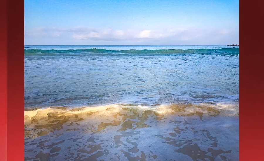
Photo: James Grenz
Swell Summary
Outlook through Sunday December 09: The current northwest swell is expected to fade over the next few days. A reinforcing long period northwest swell will keep small surf through Monday. A much larger northwest swell will build on Tuesday, peak Tuesday night and Wednesday and fade through the remainder of the work week. This swell will likely generate warning level surf heights along exposed north and west facing shores. Breezy trades will return this week and will result in increasing surf along the east facing shores. By the end of the week, stronger trades may bring advisory level surf for east facing shores. Surf is expected to remain minimal along south facing shores through the period.
Surf heights are forecast heights of the face, or front, of waves. The surf forecast is based on the significant wave height, the average height of the one third largest waves, at the locations of the largest breakers. Some waves may be more than twice as high as the significant wave height. Expect to encounter rip currents in or near any surf zone.
North East
am ![]()
![]() pm
pm ![]()
![]()
Surf: Stomach to shoulder high NNW medium period swell in the morning builds in the afternoon with occasional sets up to head high.
Conditions: Bumpy/semi bumpy with NNE winds 5-10mph.
North West
am ![]()
![]() pm
pm ![]()
![]()
Surf: Knee to waist high WNW medium period swell.
Conditions: Glassy in the early morning with E winds less than 5mph. Semi choppy conditions move in during the morning hours with the winds shifting NNE 5-10mph.
West
am ![]()
![]() pm
pm ![]()
![]()
Surf: Waist high WNW ground swell for the morning with occasional chest high sets. This drops in the afternoon with occasional stomach high sets.
Conditions: Glassy with ESE winds less than 5mph in the morning shifting W for the afternoon.
South East
am ![]()
![]() pm
pm ![]()
![]()
Surf: Waist to chest high ESE wind swell for the morning going more E during the day.
Conditions: Semi clean/textured in the morning with N winds 10-15mph. Semi clean/sideshore texture and current conditions for the afternoon with the winds shifting NNE 15-20mph.

Image: NOAA
**Click directly on the images below to make them larger. Charts include: Hawaii County projected winds, tides, swell direction & period and expected wave heights.**
Data Courtesy of NOAA.gov and SwellInfo.com
Sponsored Content


