

October 28, 2018 Surf Forecast
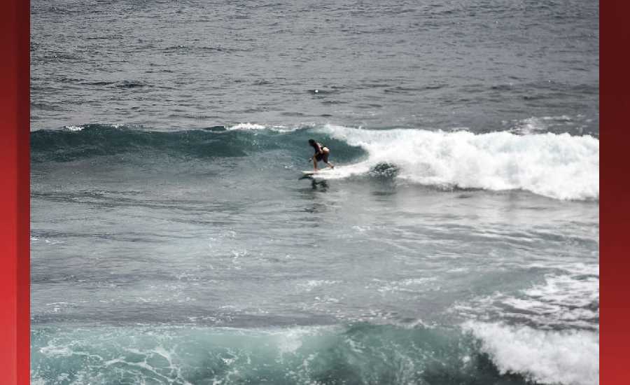
Photo: James Grenz
Swell Summary
Outlook through Sunday November 04: The new north-northwest swell has arrived and is expected to peak this morning just below advisory levels. A reinforcing long-period northwest swell is expected late Tuesday through Wednesday and may reach advisory level heights. Surf along south facing shores will slowly lower through Monday. Strong southerly winds ahead of a front will bring a short-lived windswell along south facing shores on Tuesday. No other significant swells are expected through end of this week.
Surf heights are forecast heights of the face, or front, of waves. The surf forecast is based on the significant wave height, the average height of the one third largest waves, at the locations of the largest breakers. Some waves may be more than twice as high as the significant wave height. Expect to encounter rip currents in or near any surf zone.
North East
am ![]()
![]() pm
pm ![]()
![]()
Surf: 1-3′ overhead high NNW ground swell.
Conditions: Sideshore texture/chop with SSE winds 15-20mph in the morning shifting SE 10-15mph in the afternoon.
North West
am ![]()
![]() pm
pm ![]()
![]()
Surf: Ankle to knee high N ground swell.
Conditions: Semi glassy in the morning with ENE winds less than 5mph. Bumpy/semi bumpy conditions for the afternoon with the winds shifting W 10-15mph.
West
am ![]()
![]() pm
pm ![]()
![]()
Surf: Waist to stomach high S ground swell for the morning with occasional chest high sets. This drops a bit in the afternoon.
Conditions: Glassy in the early morning with SE winds less than 5mph. Bumpy/semi bumpy conditions move in during the morning hours with the winds shifting SSW 5-10mph.
South East
am ![]()
![]() pm
pm ![]()
![]()
Surf: Waist to chest high mix of ESE wind swell and S ground swell with occasional shoulder sets.
Conditions: Glassy in the early morning with N winds less than 5mph. Sideshore texture/chop conditions move in during the morning hours with the winds shifting ENE 5-10mph.

Image: NOAA

Image: NOAA
Image: NOAA

Image: NOAA

Image: NOAA
**Click directly on the images below to make them larger. Charts include: Hawaii County projected winds, tides, swell direction & period and expected wave heights.**
Data Courtesy of NOAA.gov and SwellInfo.com
Sponsored Content


