

October 24, 2018 Surf Forecast
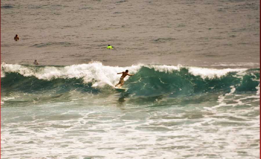
Photo: James Grenz
Swell Summary
Outlook through Wednesday October 31: Advisory-level surf is expected to hold along south facing shores through Friday as a new long-period south swell fills in through tonight. Another reinforcement expected on Friday may support advisory-level conditions into Saturday before easing later in the weekend through early next week. Overlapping north-northwest swells will support moderate surf continuing through Friday. A larger north- northwest swell is expected to fill in late Saturday, potentially resulting in advisory-level surf for north facing shores Saturday night through Sunday. Near advisory-level surf will be possible late Tuesday through Wednesday of next week as a long-period northwest swell fills in.
Surf heights are forecast heights of the face, or front, of waves. The surf forecast is based on the significant wave height, the average height of the one third largest waves, at the locations of the largest breakers. Some waves may be more than twice as high as the significant wave height. Expect to encounter rip currents in or near any surf zone.
North East
am ![]()
![]() pm
pm ![]()
![]()
Surf: Stomach to shoulder high NNW ground swell for the morning with occasional head high sets. A similar size E wind swell fills in during the afternoon.
Conditions: Sideshore texture/chop with SE winds 10-15mph.
North West
am ![]()
![]() pm
pm ![]()
![]()
Surf: Ankle to knee high SSW long period swell.
Conditions: Glassy in the early morning with E winds less than 5mph. Sideshore texture/chop conditions move in during the morning hours with the winds shifting SW 5-10mph.
West
am ![]()
![]() pm
pm ![]()
![]()
Surf: Waist to stomach high S ground swell for the morning with occasional chest sets. This builds to stomach to shoulder high for the afternoon.
Conditions: Glassy in the morning with SSE winds less than 5mph. Semi glassy/semi bumpy conditions for the afternoon with the winds shifting WSW 5-10mph.
South East
am ![]()
![]() pm
pm ![]()
![]()
Surf: Stomach to shoulder high mix of ESE wind swell and S long period swell
Conditions: Sideshore texture/chop with NE winds 5-10mph.

Image: NOAA

Image: NOAA
Image: NOAA

Image: NOAA

Image: NOAA
**Click directly on the images below to make them larger. Charts include: Hawaii County projected winds, tides, swell direction & period and expected wave heights.**
Data Courtesy of NOAA.gov and SwellInfo.com
Sponsored Content


