

October 18, 2018 Surf Forecast
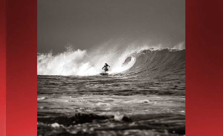
Photo: James Grenz
Swell Summary
Outlook through Thursday October 25: A large, long-period south swell arriving Friday, is expected to peak this weekend. Surf heights will likely reach the High Surf Advisory criteria starting Friday night along south facing shores. There is a possibility surf may approach the High Surf Warning threshold along south facing shores this weekend. This south swell will slowly subside early next week. The current north-northwest swell will gradually decline into this weekend. A new moderate northwest swell may arrive next Tuesday, and persist through mid-week. Surf along east facing shores will remain small into this weekend due to the weak trade winds.
Surf heights are forecast heights of the face, or front, of waves. The surf forecast is based on the significant wave height, the average height of the one third largest waves, at the locations of the largest breakers. Some waves may be more than twice as high as the significant wave height. Expect to encounter rip currents in or near any surf zone.
North East
am ![]()
![]() pm
pm ![]()
![]()
Surf: Chest to head high NNW ground swell for the morning with occasional slightly overhead high sets. This drops in the afternoon with occasional head high sets.
Conditions: Light sideshore texture in the morning with SSE winds 5-10mph. Semi choppy conditions for the afternoon with the winds shifting to the ESE.
North West
am ![]()
![]() pm
pm ![]()
![]()
Surf: Ankle to knee high SSW ground swell.
Conditions: Semi glassy/semi bumpy in the morning with NNW winds 5-10mph. Sideshore texture/chop conditions for the afternoon with the winds shifting to the SW.
West
am ![]()
![]() pm
pm ![]()
![]()
Surf: Knee high ground swell with occasional waist sets. The swell will be coming from the SSW in the morning and shift to the NW during the day.
Conditions: Semi glassy in the morning with N winds less than 5mph. Semi choppy conditions for the afternoon with the winds shifting S 10-15mph.
South East
am ![]()
![]() pm
pm ![]()
![]()
Surf: Knee to thigh high SE medium period swell with occasional waist high sets.
Conditions: Clean in the morning with NW winds less than 5mph. Light sideshore texture conditions for the afternoon with the winds shifting NE 5-10mph.

Image: NOAA

Image: NOAA

Image: NOAA
Image: NOAA

Image: NOAA
**Click directly on the images below to make them larger. Charts include: Hawaii County projected winds, tides, swell direction & period and expected wave heights.**
Data Courtesy of NOAA.gov and SwellInfo.com
Sponsored Content


