

October 04, 2018 Surf Forecast
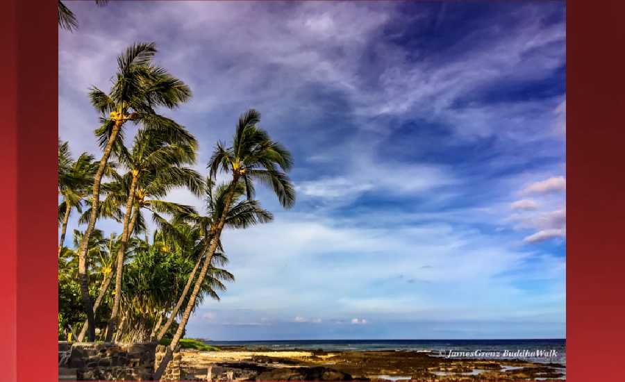
Photo: James Grenz
Swell Summary
Outlook through Thursday October 11: A large southwest swell generated by Hurricane Walaka will boost surf heights along west and south facing shores today before quickly dropping tonight.The current northwest swell will gradually decrease through the day. Another moderate northwest swell is due to arrive Friday and continue into the weekend. A south southwest swell will slowly decline through tonight. A moderate east swell from Hurricane Sergio currently in the eastern Pacific is expected to arrive late into the weekend and early next week.
Surf heights are forecast heights of the face, or front, of waves. The surf forecast is based on the significant wave height, the average height of the one third largest waves, at the locations of the largest breakers. Some waves may be more than twice as high as the significant wave height. Expect to encounter rip currents in or near any surf zone.
North East
am ![]()
![]() pm
pm ![]()
![]()
Surf: Waist to chest high NNW ground swell for the morning. This fades in the afternoon with sets up to stomach high.
Conditions: Semi choppy with ESE winds 5-10mph.
North West
am ![]()
![]() pm
pm ![]()
![]()
Surf: Waist to chest high WSW ground swell.
Conditions: Glassy in the early morning with N winds less than 5mph. Bumpy/semi bumpy conditions move in during the morning hours with the winds shifting NNW 5-10mph.
West
am ![]()
![]() pm
pm ![]()
![]()
Surf: Stomach to shoulder high WSW ground swell for the morning going more SSW during the day.
Conditions: Glassy in the morning with NNE winds less than 5mph. Bumpy/semi bumpy conditions for the afternoon with the winds shifting WNW 5-10mph.
South East
am ![]()
![]() pm
pm ![]()
![]()
Surf: Waist to chest high SSW ground swell for the morning with occasional shoulder high sets. This drops a bit in the afternoon.
Conditions: Semi glassy in the morning with NNE winds 5-10mph. Semi choppy conditions for the afternoon with the winds shifting to the ENE.

Image: NOAA

Image: NOAA

Image: NOAA
Image: NOAA

Image: NOAA

Image: NOAA
**Click directly on the images below to make them larger. Charts include: Hawaii County projected winds, tides, swell direction & period and expected wave heights.**
Data Courtesy of NOAA.gov and SwellInfo.com
Sponsored Content


