

September 25, 2018 Surf Forecast
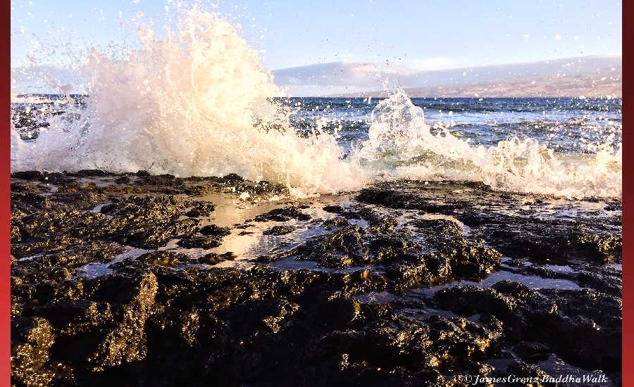
Photo: James Grenz
Swell Summary
Outlook through Tuesday October 02: A moderate north-northwest swell is expected to fill in Friday and hold into the weekend before easing. Surf heights should remain below the advisory levels for north facing shores. A small to moderate southwest swell is expected to begin filling in Thursday, then hold into the weekend before gradually easing. A slightly larger south- southwest swell is expected to fill in Tuesday of next week and hold through midweek. Surf along east facing shores will remain small through the week, then gradually increase over the upcoming weekend.
Surf heights are forecast heights of the face, or front, of waves. The surf forecast is based on the significant wave height, the average height of the one third largest waves, at the locations of the largest breakers. Some waves may be more than twice as high as the significant wave height. Expect to encounter rip currents in or near any surf zone.
North East
am ![]()
![]() pm
pm ![]()
![]()
Surf: Waist to chest high E wind swell with occasional shoulder high sets.
Conditions: Light sideshore texture in the morning with SE winds 5-10mph. Choppy/sideshore current conditions for the afternoon as the winds increase to 20-25mph.
North West
am ![]()
![]() pm
pm ![]()
![]()
Surf: Ankle to knee high SW long period swell.
Conditions: Light sideshore texture in the morning with NE winds 5-10mph. Bumpy/choppy conditions for the afternoon with the winds shifting NNW 10-15mph.
West
am ![]()
![]() pm
pm ![]()
![]()
Surf: Knee high long period swell with occasional waist sets. The swell will be coming from the S in the morning and shift to the SW during the day.
Conditions: Semi glassy in the morning with NNW winds less than 5mph. Bumpy/choppy conditions for the afternoon with the winds shifting WNW 10-15mph.
South East
am ![]()
![]() pm
pm ![]()
![]()
Surf: Waist to chest high ESE wind swell.
Conditions: Semi glassy/semi bumpy in the morning with S winds 5-10mph. Bumpy/semi bumpy conditions for the afternoon as the winds increase to 10-15mph.

Image: NOAA

Image: NOAA

Image: NOAA

Image: NOAA
Image: NOAA

Image: NOAA
**Click directly on the images below to make them larger. Charts include: Hawaii County projected winds, tides, swell direction & period and expected wave heights.**
Data Courtesy of NOAA.gov and SwellInfo.com
Sponsored Content


