

September 09, 2018 Surf Forecast
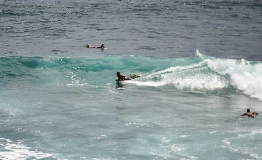
Photo: James Grenz
Swell Summary
Outlook through Sunday September 16: Small long period swell from Hurricane Olivia will gradually increase through Monday and is expected to significantly increase Tuesday into Wednesday as Olivia nears the state. Surf is expected to rise into the solid advisory levels Tuesday and Wednesday and possibly to warning levels along east facing shores. Surf heights will be highly dependent on track and intensity of Olivia. Otherwise, a small, long-period southwest swell will provide a small bump to south facing shores today into Tuesday.
Surf heights are forecast heights of the face, or front, of waves. The surf forecast is based on the significant wave height, the average height of the one third largest waves, at the locations of the largest breakers. Some waves may be more than twice as high as the significant wave height. Expect to encounter rip currents in or near any surf zone.
North East
am ![]()
![]() pm
pm ![]()
![]()
Surf: Chest to head high E ground swell with occasional slightly overhead high sets.
Conditions: Glassy in the morning with NE winds less than 5mph. Semi glassy/semi bumpy conditions for the afternoon with the winds shifting to the N.
North West
am ![]()
![]() pm
pm ![]()
![]()
Surf: Knee high SW long period swell with occasional waist high sets.
Conditions: Glassy in the morning with E winds less than 5mph. Bumpy/semi bumpy conditions for the afternoon with the winds shifting NW 5-10mph.
West
am ![]()
![]() pm
pm ![]()
![]()
Surf: Knee to waist high SW ground swell in the morning builds in the afternoon with occasional sets up to chest high.
Conditions: Glassy in the morning with S winds less than 5mph. Semi glassy/semi bumpy conditions for the afternoon with the winds shifting to the W.
South East
am ![]()
![]() pm
pm ![]()
![]()
Surf: Chest to shoulder high E ground swell for the morning with occasional head sets. This builds to 1-3′ overhead high for the afternoon.
Conditions: Clean in the morning with NNW winds 5-10mph. Light sideshore texture conditions for the afternoon with the winds shifting NNE 10-15mph.

Image: NOAA

Image: NOAA

Image: NOAA

Image: NOAA

Image: NOAA
**Click directly on the images below to make them larger. Charts include: Hawaii County projected winds, tides, swell direction & period and expected wave heights.**
Data Courtesy of NOAA.gov and SwellInfo.com
Sponsored Content


