

August 28, 2018 Surf Forecast
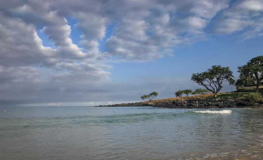
Photo: James Grenz
Swell Summary
Outlook through Tuesday September 04: No significant swells are expected during the forecast period. A series of small background swells from the south will keep the surf from being flat along the south facing shores. A small southeast swell should begin to fill in today and peak Wednesday night. A slightly bigger south-southwest swell is expected over the weekend at heights near the summer average. A small northwest swell is expected to reach the north and west shores over the upcoming weekend as well.
Surf heights are forecast heights of the face, or front, of waves. The surf forecast is based on the significant wave height, the average height of the one third largest waves, at the locations of the largest breakers. Some waves may be more than twice as high as the significant wave height. Expect to encounter rip currents in or near any surf zone.
North East
am ![]()
![]() pm
pm ![]()
![]()
Surf: Waist to chest high E wind swell.
Conditions: Choppy/sideshore current with SE winds 20-25mph in the morning decreasing to 15-20mph in the afternoon.
North West
am ![]()
![]() pm
pm ![]()
![]()
Surf: Ankle to knee high SW ground swell.
Conditions: Fairly clean in the early morning with S winds 5-10mph. Sideshore/choppy conditions move in during the morning hours with the winds shifting SSW 15-20mph.
West
am ![]()
![]() pm
pm ![]()
![]()
Surf: Knee high SW ground swell with occasional thigh high sets.
Conditions: Semi glassy/semi bumpy in the morning with S winds 5-10mph. Sideshore texture/chop conditions for the afternoon with the winds shifting NNW 10-15mph.
South East
am ![]()
![]() pm
pm ![]()
![]()
Surf: Waist to stomach high SE medium period swell for the morning going more E and building a bit during the afternoon.
Conditions: Bumpy/choppy with E winds 10-15mph in the morning decreasing to 5-10mph in the afternoon.

Image: NOAA

Image: NOAA

Image: NOAA

Image: NOAA

Image: NOAA

Image: NOAA
**Click directly on the images below to make them larger. Charts include: Hawaii County projected winds, tides, swell direction & period and expected wave heights.**
Data Courtesy of NOAA.gov and SwellInfo.com
Sponsored Content


