

August 15, 2018 Surf Forecast
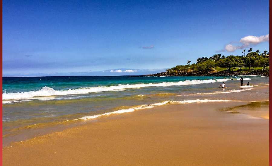
Photo: James Grenz
Swell Summary
Outlook through Wednesday August 22: Overall, small surf is expected along all shores through the weekend. A small south-southeast swell is expected to fill in Thursday, peak Friday and hold through Saturday at heights below the summer average. Models are suggesting a broad area of low pressure developing near the Aleutian Islands this weekend. This may bring a small to moderate north to north-northwest swell around Monday night or Tuesday of next week. Otherwise, no significant swells are expected.
Surf heights are forecast heights of the face, or front, of waves. The surf forecast is based on the significant wave height, the average height of the one third largest waves, at the locations of the largest breakers. Some waves may be more than twice as high as the significant wave height. Expect to encounter rip currents in or near any surf zone.
North East
am ![]()
![]() pm
pm ![]()
![]()
Surf: Waist to stomach high medium period swell with occasional chest sets. The swell will be coming from the ESE in the morning and shift to the ENE during the day.
Conditions: Bumpy/semi bumpy in the morning with ENE winds 5-10mph. Light sideshore texture conditions for the afternoon with the winds shifting to the SSE.
North West
am ![]()
![]() pm
pm ![]()
![]()
Surf: Small scale (ankle to knee high) surf.
Conditions: Semi glassy in the morning with ENE winds less than 5mph. Sideshore texture/chop conditions for the afternoon with the winds shifting SW 10-15mph.
West
am ![]()
![]() pm
pm ![]()
![]()
Surf: Knee to waist high S ground swell with occasional stomach high sets.
Conditions: Clean in the morning with NNE winds less than 5mph. Semi glassy/semi bumpy conditions for the afternoon with the winds shifting SW 5-10mph.
South East
am ![]()
![]() pm
pm ![]()
![]()
Surf: Waist high SE medium period swell for the morning with occasional stomach high sets. The swell builds in the afternoon with sets up to chest high.
Conditions: Glassy in the morning with N winds 5-10mph. Clean conditions for the afternoon with the winds shifting to the NNW.

Image: NOAA

Image: NOAA

Image: NOAA
Image: NOAA

Image: NOAA

Image: NOAA
**Click directly on the images below to make them larger. Charts include: Hawaii County projected winds, tides, swell direction & period and expected wave heights.**
Data Courtesy of NOAA.gov and SwellInfo.com
Sponsored Content


