

August 02, 2018 Surf Forecast
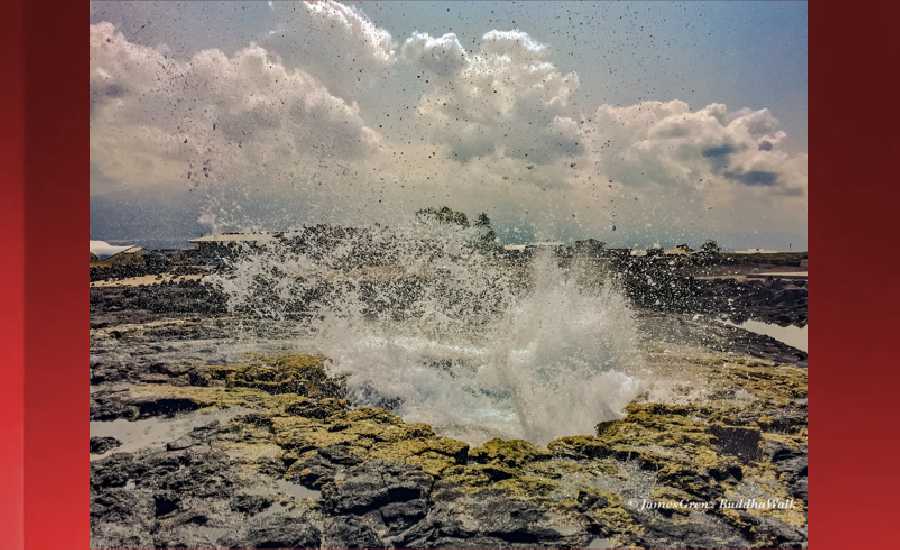
Photo: James Grenz
Swell Summary
Outlook through Thursday August 09: Small south swells will maintain background surf along south facing shores through this weekend. A slightly larger long-period south swell arriving Monday is expected to increase surf to near the summer-time average along south facing shores early next week. Strong trades will produce elevated choppy surf along east facing shores into this weekend. Surf along east facing shores is expected to lower from Sunday into early next week as the trades weaken slightly. Note that depending on the future track and intensity of eastern Pacific Tropical Cyclone Hector, surf may increase across some shorelines starting around the middle of next week.
Surf heights are forecast heights of the face, or front, of waves. The surf forecast is based on the significant wave height, the average height of the one third largest waves, at the locations of the largest breakers. Some waves may be more than twice as high as the significant wave height. Expect to encounter rip currents in or near any surf zone.
North East
am ![]()
![]() pm
pm ![]()
![]()
Surf: Chest to shoulder high ENE wind swell.
Conditions: Light sideshore texture with SE winds 5-10mph.
North West
am ![]()
![]() pm
pm ![]()
![]()
Surf: Ankle to knee high SW long period swell.
Conditions: Glassy in the morning with S winds less than 5mph. Semi choppy conditions for the afternoon with the winds shifting WSW 10-15mph.
West
am ![]()
![]() pm
pm ![]()
![]()
Surf: Waist high S ground swell with occasional chest high sets.
Conditions: Semi choppy with S winds 5-10mph in the morning shifting SW for the afternoon.
South East
am ![]()
![]() pm
pm ![]()
![]()
Surf: Stomach to shoulder high E wind swell.
Conditions: Light sideshore texture in the morning with NNE winds 10-15mph. Semi clean/textured conditions for the afternoon with the winds shifting to the N.

Image: NOAA

Image: NOAA

Image: NOAA
Image: NOAA

Image: NOAA

Image: NOAA
**Click directly on the images below to make them larger. Charts include: Hawaii County projected winds, tides, swell direction & period and expected wave heights.**
Data Courtesy of NOAA.gov and SwellInfo.com
Sponsored Content


