

July 28, 2018 Surf Forecast
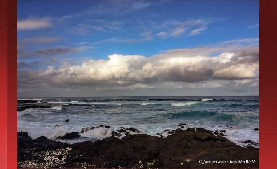
Photo: James Grenz
Swell Summary
Outlook through Saturday August 04: Breezy trade winds will generate modest choppy surf along east facing shores into early next week. A long fetch of strong trade winds developing east and northeast of the islands next week may cause a slight increase in surf heights along east facing shores by the middle of next week. Small southeast and south swells will maintain small background surf along south facing shores through the middle of next week.
Surf heights are forecast heights of the face, or front, of waves. The surf forecast is based on the significant wave height, the average height of the one third largest waves, at the locations of the largest breakers. Some waves may be more than twice as high as the significant wave height. Expect to encounter rip currents in or near any surf zone.
North East
am ![]()
![]() pm
pm ![]()
![]()
Surf: Waist to chest high ESE medium period swell with occasional shoulder high sets.
Conditions: Semi choppy with ESE winds 10-15mph in the morning decreasing to 5-10mph in the afternoon.
North West
am ![]()
![]() pm
pm ![]()
![]()
Surf: Ankle to knee high W ground swell for the morning going more SW and building into the knee to waist range in the afternoon.
Conditions: Glassy in the early morning with S winds less than 5mph. Semi choppy conditions move in during the morning hours with the winds shifting WSW 5-10mph.
West
am ![]()
![]() pm
pm ![]()
![]()
Surf: Ankle to knee high SW ground swell.
Conditions: Glassy in the morning with SSW winds less than 5mph. Semi glassy/semi bumpy conditions for the afternoon with the winds shifting WSW 5-10mph.
South East
am ![]()
![]() pm
pm ![]()
![]()
Surf: Chest to shoulder high ESE medium period swell.
Conditions: Light sideshore texture with NNE winds 5-10mph in the morning increasing to 10-15mph in the afternoon.

Image: NOAA

Image: NOAA

Image: NOAA

Image: NOAA

Image: NOAA
**Click directly on the images below to make them larger. Charts include: Hawaii County projected winds, tides, swell direction & period and expected wave heights.**
Data Courtesy of NOAA.gov and SwellInfo.com
Sponsored Content


