

June 08, 2018 Surf Forecast
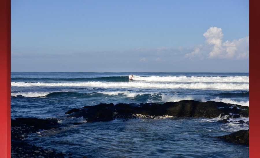
Photo: James Grenz
Swell Summary
Outlook through Thursday June 14: A new south swell will slowly build tonight and Friday. South shore surf will peak Friday afternoon into Saturday near the high surf advisory level. A reinforcing, similarly sized south swell will arrive on Sunday and gradually lower on Monday. Near summer time average surf will continue along the east facing shores this week. A pair of tiny northwest swells will continue through mid week.
Surf heights are forecast heights of the face, or front, of waves. The surf forecast is based on the significant wave height, the average height of the one third largest waves, at the locations of the largest breakers. Some waves may be more than twice as high as the significant wave height. Expect to encounter rip currents in or near any surf zone.
North East
am ![]()
![]() pm
pm ![]()
![]()
Surf: Waist to chest high E short period wind swell.
Conditions: Sideshore texture/chop with SE winds 10-15mph in the morning increasing to 15-20mph in the afternoon.
North West
am ![]()
![]() pm
pm ![]()
![]()
Surf: Ankle to knee high long period swell for the morning going more SSW during the day.
Conditions: Semi glassy in the morning with NE winds less than 5mph. Bumpy/semi bumpy conditions for the afternoon with the winds shifting W 5-10mph.
West
am ![]()
![]() pm
pm ![]()
![]()
Surf: Waist to chest high S long period swell with occasional shoulder high sets.
Conditions: Semi glassy/semi bumpy with S winds less than 5mph in the morning shifting W 5-10mph in the afternoon.
South East
am ![]()
![]() pm
pm ![]()
![]()
Surf: Waist to chest high mix of S long period swell and E wind swell for the morning with occasional shoulder sets. The surf builds from the S in the afternoon with sets up to head high.
Conditions: Semi glassy in the morning with NE winds less than 5mph. Semi choppy conditions for the afternoon with the winds shifting ENE 5-10mph.

Image: NOAA

Image: NOAA

Image: NOAA

Image: NOAA

Image: NOAA

Image: NOAA
**Click directly on the images below to make them larger. Charts include: Hawaii County projected winds, tides, swell direction & period and expected wave heights.**
Data Courtesy of NOAA.gov and SwellInfo.com
Sponsored Content


