

June 05, 2018 Weather Forecast
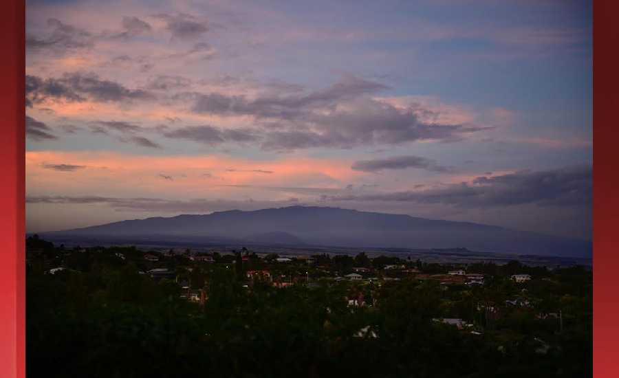
Photo Credit: James Grenz
**Click directly on the images below to make them larger. Charts include: Hawaii Island high/low forecasted temperatures, projected winds, projected localized weather conditions and expected wave heights.**
Looking Ahead
Breezy trade winds are forecast to hold through much of the week as high pressure remains positioned to the north. Trades may slightly trend down late Wednesday through Thursday as high pressure weakens. Although the bulk of the clouds and showers will continue to focus over windward and mauka locations, some may spill over into the leeward sections of the smaller islands periodically. Trade showers could become more active during the second half of the work week with a gradual drying trend possible through the upcoming weekend.
Hilo
Today: Showers likely, mainly before 11am. Mostly cloudy, with a high near 82. West wind 5 to 9 mph becoming north northeast in the afternoon. Chance of precipitation is 70%. New precipitation amounts of less than a tenth of an inch possible.
Tonight: Scattered showers. Mostly cloudy, with a low around 66. Light and variable wind becoming west around 5 mph after midnight. Chance of precipitation is 50%. New precipitation amounts of less than a tenth of an inch possible.
Wednesday: Scattered showers. Mostly cloudy, with a high near 82. West southwest wind 5 to 9 mph becoming northeast in the afternoon. Chance of precipitation is 50%. New precipitation amounts of less than a tenth of an inch possible.
Kona
Today: Scattered showers after 11am. Widespread haze. Mostly sunny, with a high near 81. Calm wind becoming southwest around 5 mph in the afternoon. Chance of precipitation is 30%. New precipitation amounts of less than a tenth of an inch possible.
Tonight: Scattered showers before 1am. Widespread haze. Partly cloudy, with a low around 67. East southeast wind around 6 mph. Chance of precipitation is 30%. New precipitation amounts of less than a tenth of an inch possible.
Wednesday: Isolated showers after 1pm. Widespread haze. Mostly sunny, with a high near 80. West southwest wind around 6 mph becoming calm in the afternoon. Chance of precipitation is 20%.
Waimea
Today: Scattered showers. Mostly cloudy, with a high near 73. Windy, with a northeast wind 17 to 25 mph, with gusts as high as 36 mph. Chance of precipitation is 40%. New precipitation amounts of less than a tenth of an inch possible.
Tonight: Scattered showers. Mostly cloudy, with a low around 57. Breezy, with an east wind 14 to 18 mph, with gusts as high as 26 mph. Chance of precipitation is 40%. New precipitation amounts between a tenth and quarter of an inch possible.
Wednesday: Scattered showers. Partly sunny, with a high near 73. Breezy, with a northeast wind 13 to 20 mph, with gusts as high as 28 mph. Chance of precipitation is 50%. New precipitation amounts between a tenth and quarter of an inch possible.
Kohala
Today: Showers likely, mainly before 10am. Mostly cloudy, with a high near 66. Windy, with an east northeast wind 21 to 26 mph, with gusts as high as 38 mph. Chance of precipitation is 70%. New precipitation amounts of less than a tenth of an inch possible.
Tonight: Showers likely, mainly before midnight. Mostly cloudy, with a low around 55. Breezy, with an east wind 15 to 21 mph, with gusts as high as 29 mph. Chance of precipitation is 60%. New precipitation amounts of less than a tenth of an inch possible.
Wednesday: Showers likely. Mostly cloudy, with a high near 66. Breezy, with an east northeast wind 15 to 22 mph, with gusts as high as 31 mph. Chance of precipitation is 70%. New precipitation amounts of less than a tenth of an inch possible.
South Point
Today: Scattered showers, mainly before 10am. Widespread haze. Mostly sunny, with a high near 80. Windy, with an east wind 24 to 26 mph, with gusts as high as 34 mph. Chance of precipitation is 30%.
Tonight: Isolated showers. Widespread haze. Partly cloudy, with a low around 73. Windy, with an east wind 21 to 24 mph, with gusts as high as 31 mph. Chance of precipitation is 20%.
Wednesday: Scattered showers, mainly after noon. Widespread haze. Partly sunny, with a high near 80. Windy, with an east wind 20 to 23 mph, with gusts as high as 30 mph. Chance of precipitation is 30%. New precipitation amounts of less than a tenth of an inch possible.
Puna
Today: Occasional showers, mainly before 10am. High near 79. Breezy, with a north northeast wind 8 to 15 mph, with gusts as high as 21 mph. Chance of precipitation is 80%. New precipitation amounts of less than a tenth of an inch possible.
Tonight: Showers likely, mainly after midnight. Mostly cloudy, with a low around 63. North northeast wind 5 to 8 mph becoming northwest after midnight. Chance of precipitation is 70%. New precipitation amounts between a tenth and quarter of an inch possible.
Wednesday: Showers likely, mainly before noon. Mostly cloudy, with a high near 79. Northwest wind 8 to 13 mph becoming northeast in the afternoon. Chance of precipitation is 60%. New precipitation amounts between a tenth and quarter of an inch possible.
Waikoloa
Today: Isolated showers after 10am. Increasing clouds, with a high near 84. Windy, with an east northeast wind 7 to 12 mph increasing to 21 to 26 mph in the afternoon. Winds could gust as high as 38 mph. Chance of precipitation is 20%.
Tonight: Mostly clear, with a low around 68. Breezy, with an east wind 8 to 17 mph, with gusts as high as 24 mph.
Wednesday: Increasing clouds, with a high near 83. Windy, with a southeast wind 8 to 13 mph becoming northeast 19 to 24 mph in the morning. Winds could gust as high as 34 mph.

Image: NOAA

Image: NOAA

Image: NOAA

Image: NOAA

Image: NOAA

Image: NOAA

Image: NOAA

Image: NOAA
Data Courtesy of NOAA.gov
Sponsored Content


