VIDEO: Overflight of Fissure Complex & Lava Flowing to Ocean
Lower East Rift Zone, May 22, 2018. VC: U.S. Department of the Interior Office of Aviation Services
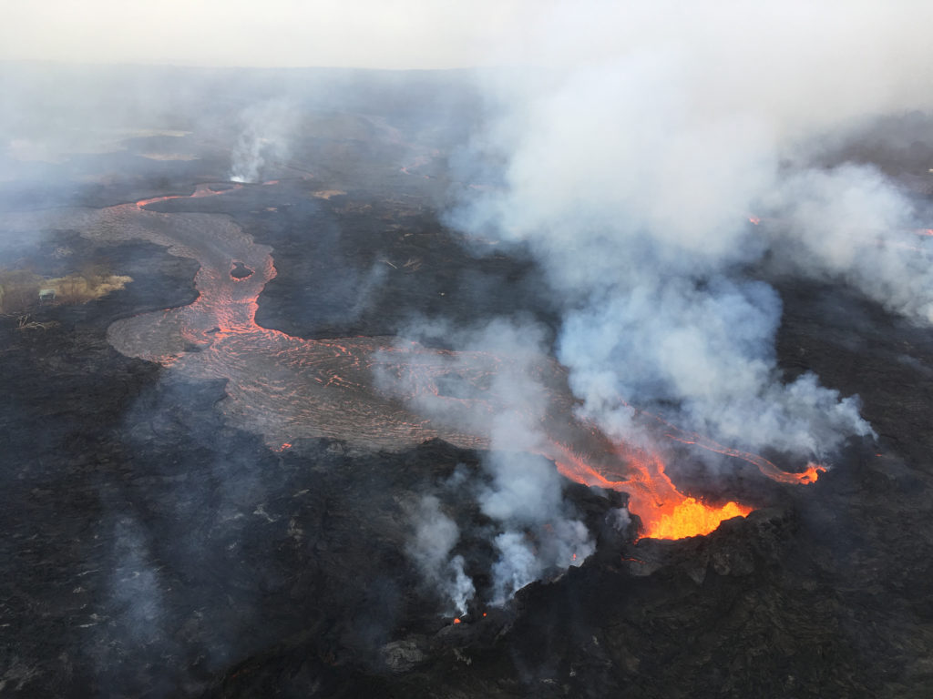
The footage above is from an Unmanned Aircraft System (UAS) hovering near fissure 22 of the Kīlauea lower East Rift Zone eruption during the overnight hours of Tuesday, May 22, 2018, and looking down on the fountaining fissure complex.
Lower East Rift Zone Unmanned Aircraft System (UAS) flights assisted with remote data collection, lava flow mapping and hazard assessment
The view rotates upward (to the south) to track channelized lava as it flows toward the Pacific Ocean, about 3 miles away.
The ocean entry is in the distance, recognizable by a small plume.
The USGS National UAS Project Office is assisting with remote data collection and mapping of lava flows and hazards. UAS flights into hazardous areas allow USGS scientists to safely view, document, and better understand what’s happening with Kīlauea’s rapidly changing eruption and to provide information to Hawai‘i County Civil Defense and emergency officials.
During Hawaiian Volcano Observatory’s overflight on May 22, the fissure 22 fountain was not as high as several days ago, but was still erupting significant lava.
During the overflight of the ongoing lower East Rift Zone eruption, HVO geologists noted that fissures 6, 13 and 22 were still erupting, with two channelized flows reaching the ocean.
The eastern

The eastern lava channel splits just before reaching the ocean, so it has two entry points, creating a total of three ocean entries on the flow field. May 22, 2018, USGS photo by M. Patrick.
lava channel splits just before reaching the ocean, so it has two entry points, creating a total of three ocean entries on the flow field.


