

May 09, 2018 Surf Forecast
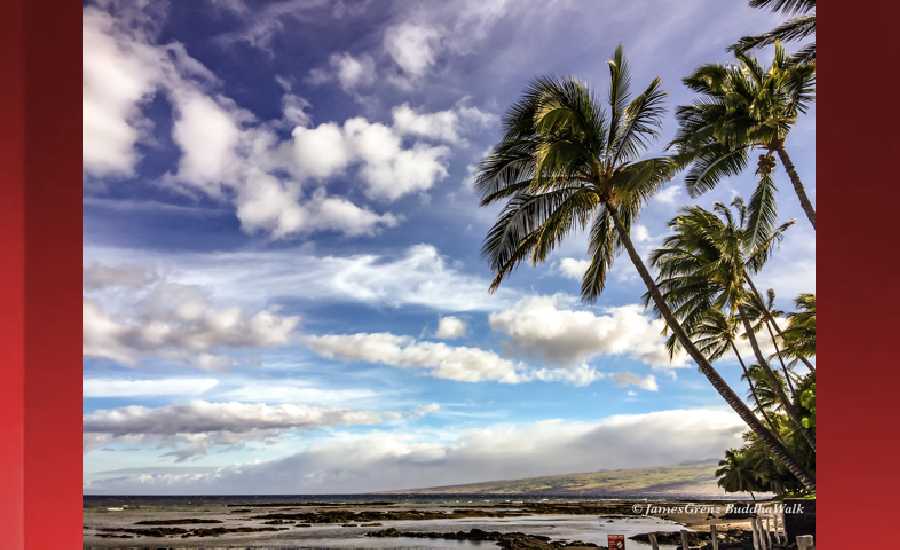
Photo: James Grenz
Swell Summary
Outlook through Tuesday May 15: A reinforcing north swell will slowly decline through Wednesday. Surf along east facing shores will be a couple of feet higher from yesterday, brought on by the strengthening trade winds. This short period, locally-generated swell will drop off on Wednesday night as the trades weaken. South facing shores will continue to have small surf through the forecast period.
Surf heights are forecast heights of the face, or front, of waves. The surf forecast is based on the significant wave height, the average height of the one third largest waves, at the locations of the largest breakers. Some waves may be more than twice as high as the significant wave height. Expect to encounter rip currents in or near any surf zone.
North East
am ![]()
![]() pm
pm ![]()
![]()
Surf: Chest to shoulder high N medium period swell for the morning with occasional head high sets. A similar size E short period wind swell fills in during the afternoon.
Conditions: Bumpy/choppy with E winds 10-15mph.
North West
am ![]()
![]() pm
pm ![]()
![]()
Surf: Knee to waist high N medium period swell.
Conditions: Semi glassy in the morning with SSW winds 5-10mph. Sideshore texture/chop conditions for the afternoon with the winds shifting SW 10-15mph.
West
am ![]()
![]() pm
pm ![]()
![]()
Surf: Knee high SSW ground swell with occasional thigh high sets.
Conditions: Semi glassy/semi bumpy in the morning with S winds less than 5mph. Bumpy/semi bumpy conditions for the afternoon with the winds shifting W 5-10mph.
South East
am ![]()
![]() pm
pm ![]()
![]()
Surf: Waist to chest high E short period wind swell.
Conditions: Sideshore texture/chop with NE winds 10-15mph.

Image: NOAA

Image: NOAA

Image: NOAA

Image: NOAA

Image: NOAA
**Click directly on the images below to make them larger. Charts include: Hawaii County projected winds, tides, swell direction & period and expected wave heights.**
Data Courtesy of NOAA.gov and SwellInfo.com
Sponsored Content


