

April 18, 2018 Surf Forecast
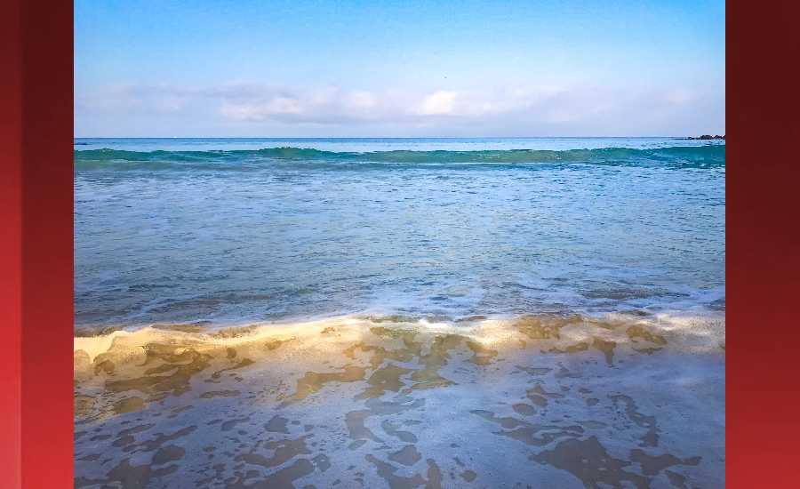
Photo: James Grenz
Swell Summary
Outlook through Tuesday April 24: Incoming northwest swells will affect north and west facing shores, though all are expected to remain below advisory levels. The first of three is expected Wednesday, peaking late Wednesday night. This swell will be reinforced by a slightly larger swell Thursday. It will peak Friday morning. A slow but gradual decline will follow, well into the weekend. The third swell arrives Sunday night, peaking Monday. A small south swell is expected to fill in and remain through midweek. Otherwise, a series of swells from the southeast, south, and south- southwest will move through the local waters through the weekend.
Surf heights are forecast heights of the face, or front, of waves. The surf forecast is based on the significant wave height, the average height of the one third largest waves, at the locations of the largest breakers. Some waves may be more than twice as high as the significant wave height. Expect to encounter rip currents in or near any surf zone.
North East
am ![]()
![]() pm
pm ![]()
![]()
Surf: Chest to shoulder high ENE wind swell in the morning builds for the afternoon with occasional sets up to head high.
Conditions: Light sideshore texture in the morning with SSE winds 10-15mph. Choppy/sideshore current conditions for the afternoon with the winds shifting SE 15-20mph.
North West
am ![]()
![]() pm
pm ![]()
![]()
Surf: Ankle to knee high SSW ground swell.
Conditions: Semi glassy in the morning with ENE winds 5-10mph. Semi choppy conditions for the afternoon with the winds shifting to the WSW.
West
am ![]()
![]() pm
pm ![]()
![]()
Surf: Knee high SSW ground swell with occasional waist high sets.
Conditions: Glassy in the morning with NW winds less than 5mph. Semi glassy/semi bumpy conditions for the afternoon with the winds shifting WSW 5-10mph.
South East
am ![]()
![]() pm
pm ![]()
![]()
Surf: Stomach to shoulder high E wind swell.
Conditions: Fairly clean in the morning with NNE winds 5-10mph. Light sideshore texture conditions for the afternoon as the winds increase to 10-15mph.

Image: NOAA

Image: NOAA

Image: NOAA

Image: NOAA

Image: NOAA

Image: NOAA
**Click directly on the images below to make them larger. Charts include: Hawaii County projected winds, tides, swell direction & period and expected wave heights.**
Data Courtesy of NOAA.gov and SwellInfo.com
Sponsored Content


