

April 17, 2018 Surf Forecast
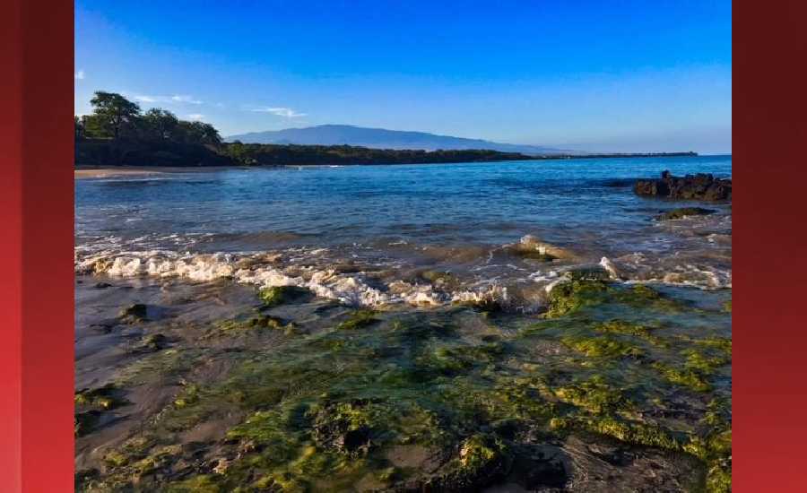
Photo: James Grenz
Swell Summary
Outlook through Monday April 23: Rough surf will continue through the week along east facing shores due to strong trades. Small south-southwest swell should hold into Wednesday before easing into the second half of the week. A moderate northwest swell is expected to arrive Thursday night. A reinforcing moderate swell should arrive Friday and maintain slightly above average surf through the weekend.
Surf heights are forecast heights of the face, or front, of waves. The surf forecast is based on the significant wave height, the average height of the one third largest waves, at the locations of the largest breakers. Some waves may be more than twice as high as the significant wave height. Expect to encounter rip currents in or near any surf zone.
North East
am ![]()
![]() pm
pm ![]()
![]()
Surf: Head high ENE medium period swell.
Conditions: Sideshore texture/chop with SE winds 10-15mph in the morning decreasing to 5-10mph in the afternoon.
North West
am ![]()
![]() pm
pm ![]()
![]()
Surf: Small scale (ankle to knee high) surf.
Conditions: Semi glassy/semi bumpy in the morning with W winds less than 5mph. Light sideshore texture conditions for the afternoon with the winds shifting SSW 10-15mph.
West
am ![]()
![]() pm
pm ![]()
![]()
Surf: Knee to waist high SSW ground swell.
Conditions: Bumpy/semi bumpy in the morning with WNW winds 5-10mph. Semi glassy/semi bumpy conditions for the afternoon with the winds shifting to the SSW.
South East
am ![]()
![]() pm
pm ![]()
![]()
Surf: Chest to shoulder high E medium period swell with occasional head high sets.
Conditions: Sideshore texture/chop in the morning with NE winds 10-15mph. Fairly clean conditions for the afternoon with the winds shifting to the N.

Image: NOAA

Image: NOAA

Image: NOAA

Image: NOAA

Image: NOAA
**Click directly on the images below to make them larger. Charts include: Hawaii County projected winds, tides, swell direction & period and expected wave heights.**
Data Courtesy of NOAA.gov and SwellInfo.com
Sponsored Content


