

April 16, 2018 Surf Forecast
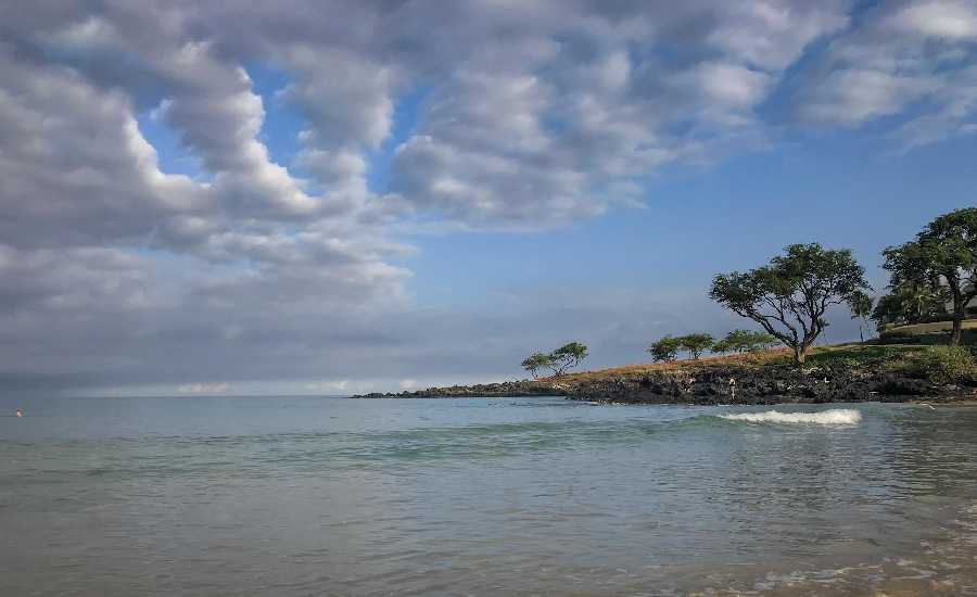
Photo: James Grenz
Swell Summary
Outlook through Sunday April 22: The current northwest swell will continue to lower tonight and Monday. Only small northwest swells are expected through most of this week with a slightly larger swell expected to arrive late Thursday and on into Friday. Strong easterly trade wind will continue to keep surf elevated along east facing shores through most of this week though conditions will remain rather choppy. There will also be a series of small southerly swells this week.
Surf heights are forecast heights of the face, or front, of waves. The surf forecast is based on the significant wave height, the average height of the one third largest waves, at the locations of the largest breakers. Some waves may be more than twice as high as the significant wave height. Expect to encounter rip currents in or near any surf zone.
North East
am ![]()
![]() pm
pm ![]()
![]()
Surf: Head high E medium period swell.
Conditions: Choppy/sideshore current with SE winds 15-20mph in the morning shifting ESE for the afternoon.
North West
am ![]()
![]() pm
pm ![]()
![]()
Surf: Ankle to knee high NNE medium period swell.
Conditions: Semi glassy/semi bumpy in the morning with WNW winds 5-10mph. Sideshore texture/chop conditions for the afternoon with the winds shifting SW 10-15mph.
West
am ![]()
![]() pm
pm ![]()
![]()
Surf: Knee high long period swell with occasional waist sets. The swell will be coming from the SSW in the morning and shift to the S during the day.
Conditions: Glassy in the morning with N winds 5-10mph. Semi choppy conditions for the afternoon with the winds shifting to the S.
South East
am ![]()
![]() pm
pm ![]()
![]()
Surf: Chest to head high E medium period swell.
Conditions: Sideshore texture/chop with NE winds 5-10mph in the morning increasing to 10-15mph in the afternoon.

Image: NOAA

Image: NOAA

Image: NOAA

Image: NOAA

Image: NOAA
**Click directly on the images below to make them larger. Charts include: Hawaii County projected winds, tides, swell direction & period and expected wave heights.**
Data Courtesy of NOAA.gov and SwellInfo.com
Sponsored Content


