

March 26, 2018 Surf Forecast
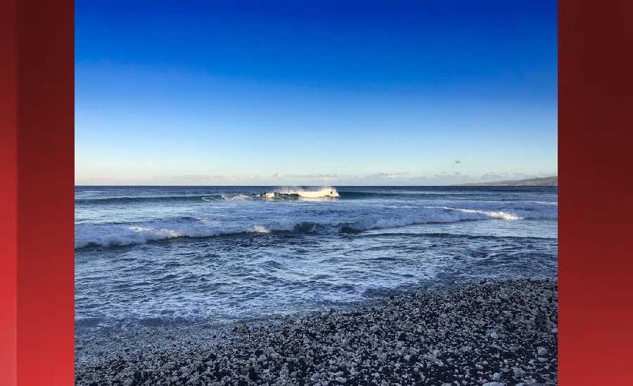
Photo: James Grenz
Swell Summary
Outlook through Sunday April 01: No significant swells are expected through Friday. The current northeast swell will continue to slowly subside over the next several days. A small short-period northwest swell will persist through at least Thursday. Small south and southwest swells are also expected to continue through the next several days. Long term guidance suggests a possible near advisory northwest swell building over the islands next weekend.
Surf heights are forecast heights of the face, or front, of waves. The surf forecast is based on the significant wave height, the average height of the one third largest waves, at the locations of the largest breakers. Some waves may be more than twice as high as the significant wave height. Expect to encounter rip currents in or near any surf zone.
North East
am ![]()
![]() pm
pm ![]()
![]()
Surf: Chest to shoulder high ENE medium period swell.
Conditions: Clean in the morning with SSW winds less than 5mph. Semi glassy conditions for the afternoon with the winds shifting to the SE.
North West
am ![]()
![]() pm
pm ![]()
![]()
Surf: Knee high NNE ground swell for the morning with occasional thigh sets. The swell shifts to the SW and fades a bit in the afternoon.
Conditions: Semi glassy in the morning with SW winds less than 5mph. Choppy/sideshore current conditions for the afternoon as the winds increase to 15-20mph.
West
am ![]()
![]() pm
pm ![]()
![]()
Surf: Knee high S ground swell with occasional thigh high sets.
Conditions: Glassy in the morning with SSW winds less than 5mph. Bumpy/semi bumpy conditions for the afternoon as the winds increase to 5-10mph.
South East
am ![]()
![]() pm
pm ![]()
![]()
Surf: Waist to chest high medium period swell with occasional shoulder sets. The swell will be coming from the ESE in the morning and shift to the ENE during the day.
Conditions: Fairly clean in the morning with N winds 5-10mph. Semi glassy conditions for the afternoon with the winds shifting SW less than 5mph.

Image: NOAA

Image: NOAA

Image: NOAA

Image: NOAA

Image: NOAA

Image: NOAA
**Click directly on the images below to make them larger. Charts include: Hawaii County projected winds, tides, swell direction & period and expected wave heights.**
Data Courtesy of NOAA.gov and SwellInfo.com
Sponsored Content


