

February 13, 2018 Surf Forecast
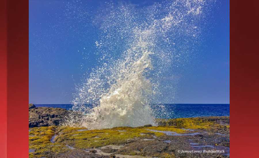
Photo: James Grenz
Swell Summary
Outlook through Monday February 19: A moderate size northwest swell is expected to slowly increase Tuesday afternoon into Wednesday, nearing advisory level surf Wednesday.
Surf heights are forecast heights of the face, or front, of waves. The surf forecast is based on the significant wave height, the average height of the one third largest waves, at the locations of the largest breakers. Some waves may be more than twice as high as the significant wave height. Expect to encounter rip currents in or near any surf zone.
North East
am ![]()
![]() pm
pm ![]()
![]()
Surf: Waist to chest high NW ground swell with occasional shoulder high sets.
Conditions: Sideshore/choppy with SSE winds 15-20mph in the morning shifting SE for the afternoon.
North West
am ![]()
![]() pm
pm ![]()
![]()
Surf: Waist to stomach high WNW ground swell with occasional chest high sets.
Conditions: Clean in the morning with SSE winds less than 5mph. Bumpy/semi bumpy conditions for the afternoon with the winds shifting NNW 10-15mph.
West
am ![]()
![]() pm
pm ![]()
![]()
Surf: Stomach to shoulder high WNW ground swell.
Conditions: Clean in the morning with E winds less than 5mph. Bumpy/semi bumpy conditions for the afternoon with the winds shifting WNW 5-10mph.
South East
am ![]()
![]() pm
pm ![]()
![]()
Surf: Knee to thigh high ESE wind swell for the morning going more SE during the day.
Conditions: Semi glassy/semi bumpy in the morning with SE winds 5-10mph. Bumpy/semi bumpy conditions for the afternoon with the winds shifting to the S.

Image: NOAA

Image: NOAA

Image: NOAA

Image: NOAA

Image: NOAA
**Click directly on the images below to make them larger. Charts include: Hawaii County projected winds, tides, swell direction & period and expected wave heights.**
Data Courtesy of NOAA.gov and SwellInfo.com
Sponsored Content


